Login

Zapomniałeś swój login?

Cookies have to be accepted!
Your browser's cookie functionality is disabled. Please enable this functionality.

Not a member yet?

Register now
Login

Available for registred users only

Log in to use this feature.

Zapomniałeś swój login?

Cookies have to be accepted!
Your browser's cookie functionality is disabled. Please enable this functionality.

Not a member yet?

Register now
Filter
Kategorie
Advanced filters
  • Długość (km)
  • Wysokość
Zapisz filtr Reset filter

TrackRank

QRCode

Technical data

Długość38,7 km Wysokość71 m Way down60 m Czas trwania00:00 h:m Data24.07.2014
Oceny Author Krajobraz Czynnik zadowolenia Kondycja Technika

Statystyka

6115 Widoki Oceny 59 Downloads / Pliki do pobrania Przeciętnie
Rate
  • Karta trasy
  • Dojazd
  • Downloads / Pliki do pobrania
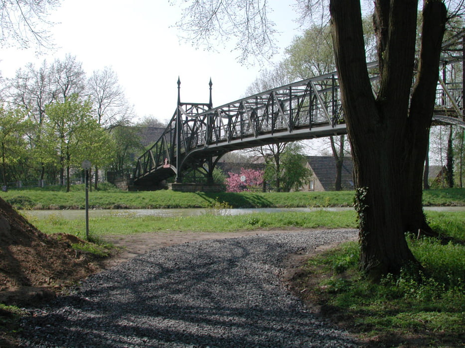
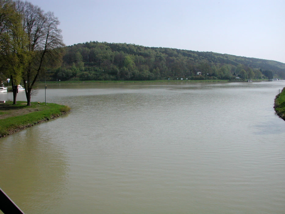
Vom Bahnhof Hörstel geht es auf direktem Weg zum „Nassen Dreieck“, dem Abzweig des Mittellandkanals vom Dortmund-Ems-Kanal. Dem Kanal bin ich auf der linken Uferseite bis zum Zweigkanal Osnabrück gefolgt. Hier habe ich den Kanal verlassen und bin entlang der Hase nach Bramsche gefahren. Durch die Fußgängerzone mit ihren schönen alten Häusern ging es zum Bahnhof.

Galeria trasy

Mapa trasy i profil wysokości

  • Open Street Map
  • Google
Minimum height 45 m Maximum height 60 m Widok szczegółowy

More about the tour author

Velo-Oldie
Member since 2009

Send private message

Komentarze

GPS tracks

Trackpoints
  • GPX / Garmin Map Source (gpx) download
  • TCX / Garmin Training Center® (tcx) download
  • CRS / Garmin Training Center® (crs) download
  • Google Earth (kml) download
  • G7ToWin (g7t) download
  • TTQV (trk) download
  • Overlay (ovl) download
  • Fugawi (txt) download
  • Kompass (DAV) Track (tk) download
  • Karta trasy (pdf) download
  • Original file of the author (gpx) download

More about the tour author

Velo-Oldie
Member since 2009

Send private message
Share track
Add to my favorites
Remove from my favorites
Edit tags
My score
Rate
Trasa: Mittellandkanal 1: Hörstel – Bramsche
Rodzaj: Trasy rowerowe
Długość: 38,7 km
Evaluated on:
Czas trwania:
Day(s)
Hour(s)
Minute(s)
Ocena: Krajobraz Czynnik zadowolenia Kondycja Technika