Login

Zapomniałeś swój login?

Cookies have to be accepted!
Your browser's cookie functionality is disabled. Please enable this functionality.

Not a member yet?

Register now
Login

Available for registred users only

Log in to use this feature.

Zapomniałeś swój login?

Cookies have to be accepted!
Your browser's cookie functionality is disabled. Please enable this functionality.

Not a member yet?

Register now
Filter
Kategorie
Advanced filters
  • Długość (km)
  • Wysokość
Zapisz filtr Reset filter

TrackRank

QRCode

Technical data

Długość29,4 km Wysokość550 m Way down331 m Czas trwania02:45 h:m Data27.07.2014
Oceny Author User Krajobraz Czynnik zadowolenia Kondycja Technika

Statystyka

230 Widoki Oceny 13 Downloads / Pliki do pobrania Przeciętnie
Rate
  • Karta trasy
  • Dojazd
  • Downloads / Pliki do pobrania

Start in Metzingen im Outlett.Über Radwege nach Bad Urach.Von dort aus über den Grünen Weg

nach Seeburg.Durch die Trailfinger Schlucht am Ermsursprung vorbei nach Trailfingen.Vor dem Grillplatz links ab auf einem alten Karrenweg zum Hofgut Uhlenfels.Die abfahrt nach Seeburg ist sehr steil aber toll.Von Seeburg aus wieder zurück nach Metzingen über den Grünen Weg.
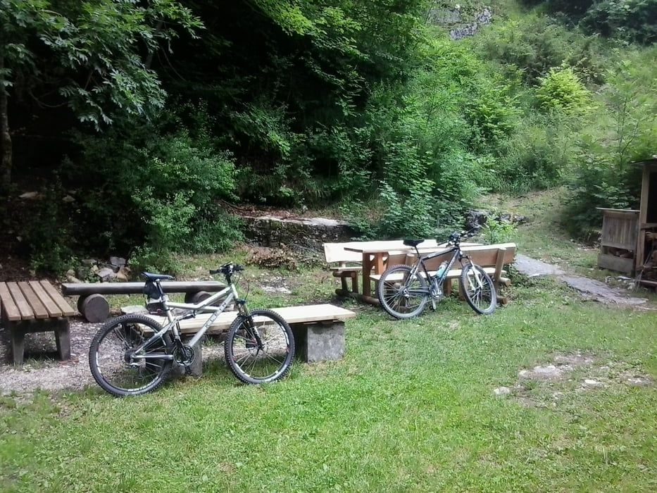
 

Galeria trasy

Mapa trasy i profil wysokości

  • Open Street Map
  • Google
Minimum height 342 m Maximum height 787 m Widok szczegółowy

More about the tour author

Cokedealer
Member since 2013

Send private message

Komentarze

GPS tracks

Trackpoints
  • GPX / Garmin Map Source (gpx) download
  • TCX / Garmin Training Center® (tcx) download
  • CRS / Garmin Training Center® (crs) download
  • Google Earth (kml) download
  • G7ToWin (g7t) download
  • TTQV (trk) download
  • Overlay (ovl) download
  • Fugawi (txt) download
  • Kompass (DAV) Track (tk) download
  • Karta trasy (pdf) download
  • Original file of the author (gpx) download

More about the tour author

Cokedealer
Member since 2013

Send private message
Share track
Add to my favorites
Remove from my favorites
Edit tags
My score
Rate
Trasa: Zum Uhenfels
Rodzaj: Rower górski (MTB)
Długość: 29,4 km
Evaluated on:
Czas trwania:
Day(s)
Hour(s)
Minute(s)
Ocena: Krajobraz Czynnik zadowolenia Kondycja Technika