


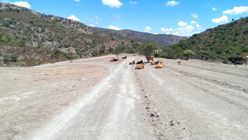
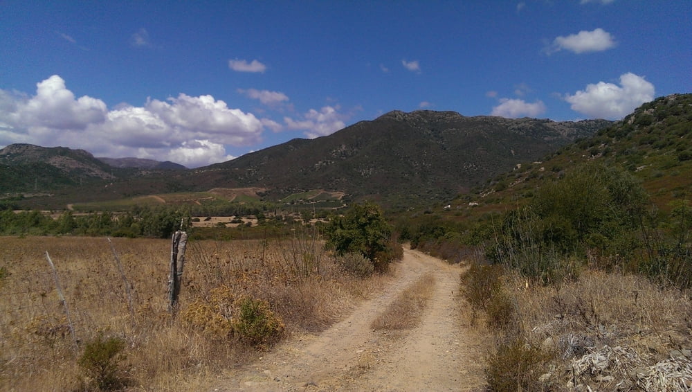
Eine recht harte Angelegenheit mit happigen Anstiegen speziell nach ca Km 23 auf den Arcu`e Mauru und Bruncu Cotti Abruxiada Pass. Unter wegs überwältigende Aussichten in alle Richtungen.
Start vor dem Camping 4 Mori oder überall sonst.
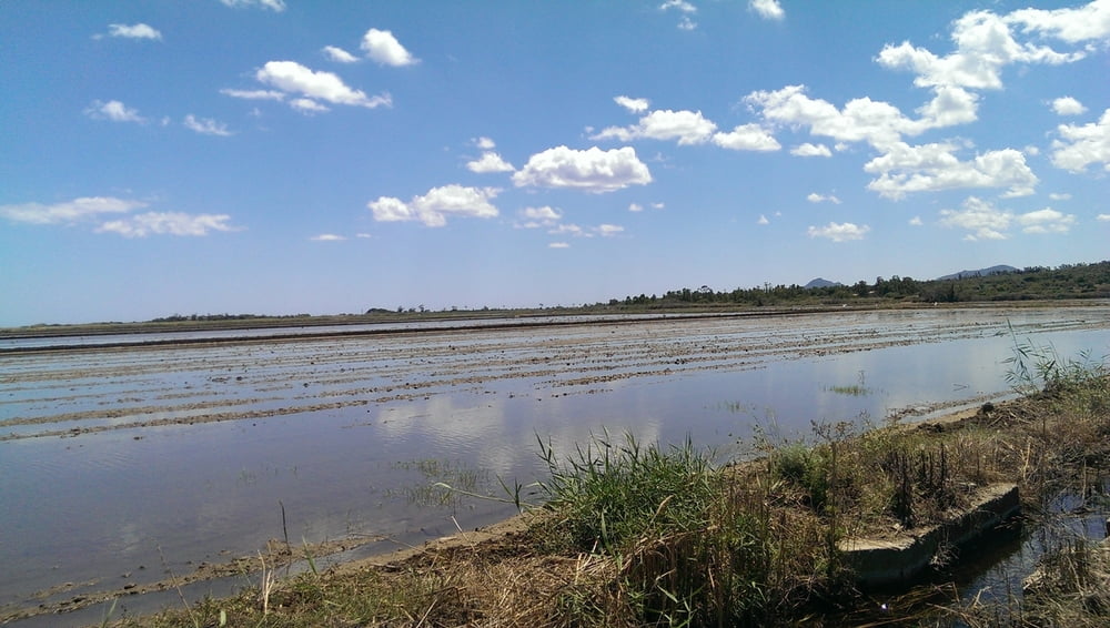
Stagno Colostrai mit Flamingos, Arcu`e Mauru, Muravera, die Gärten von Muravera.
___
description
A pretty hard matter with hefty climbs especially after about 22 Km on the Arcu`e Mauru and Bruncu Cotti Abruxiada pass. Under reasonably overwhelming views in all directions.
Start of Camping 4 Mori or anywhere else.
Stagno Colostrai with flamingos, Arcu`e Mauru, Muravera, the gardens of Muravera.
Further information at
/pl/profile/my-tours.htmlGaleria trasy

Mapa trasy i profil wysokości
Minimum height 1 m
Maximum height 569 m
More about the tour author
|
|
Cattleya |
Komentarze

Ab Camping 4 Mori
GPS tracks
Trackpoints-
GPX / Garmin Map Source (gpx) download
-
TCX / Garmin Training Center® (tcx) download
-
CRS / Garmin Training Center® (crs) download
-
Google Earth (kml) download
-
G7ToWin (g7t) download
-
TTQV (trk) download
-
Overlay (ovl) download
-
Fugawi (txt) download
-
Kompass (DAV) Track (tk) download
-
Karta trasy (pdf) download
-
Original file of the author (gpx) download
More about the tour author
|
|
Cattleya |
Add to my favorites
Remove from my favorites
Edit tags
Open track
My score
Rate