


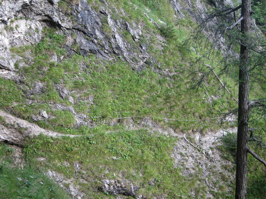
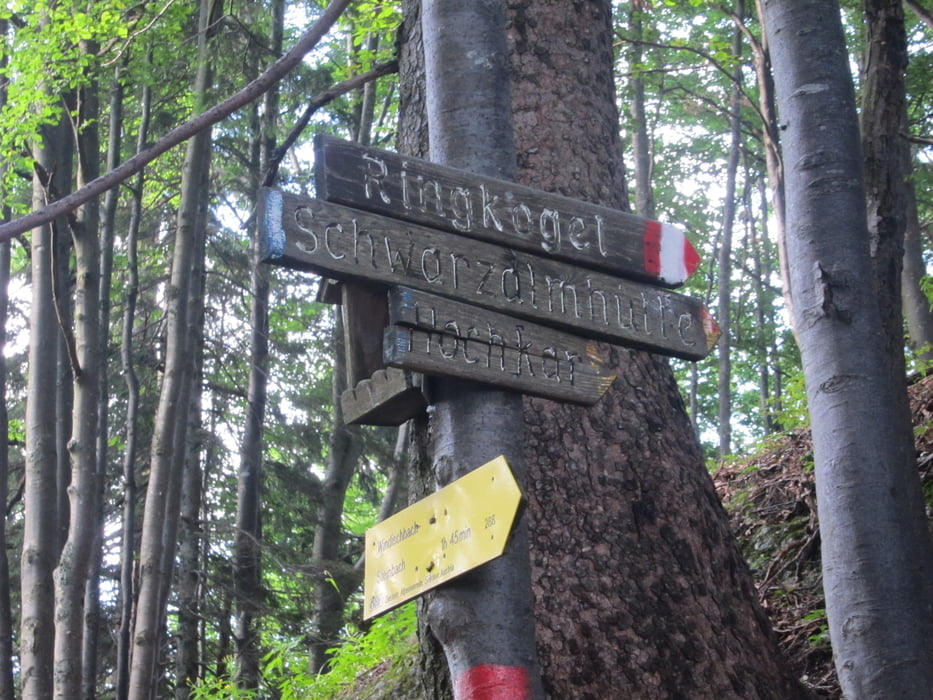
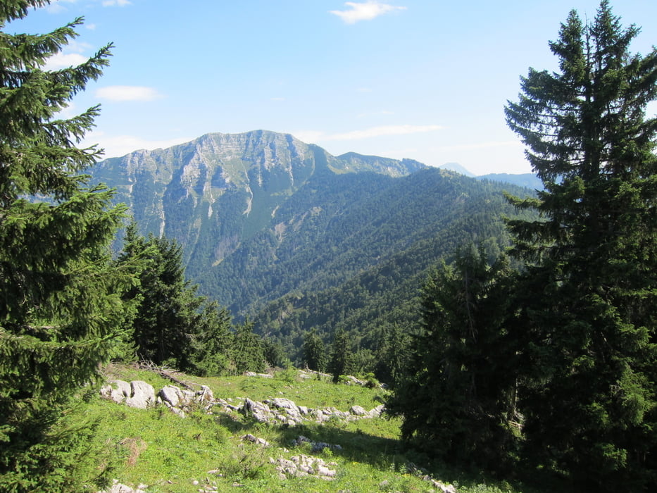
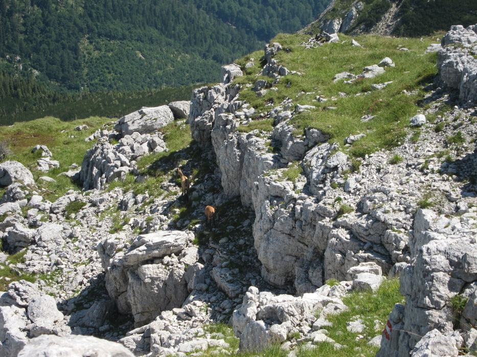
Durch das Steinbachtal über eine kleine Eisenbrücke auf den teilweisen versicherten Aufstieg am Tremel. Dann den Alpinweg, manchmal schwer zu finden, auf den Hochkirch. Der Dürrenstein ist immer zu sehen, aber es geht immer bergauf und bergab am Grad entlang.Am Ende des Aufstieges geht es noch einmal steil den Rauen Kamm (nicht zu verwechseln mit dem Ötscher) entlang bis zum Gipfel. Der Abstieg erfolgt über die Ybbstalerhütte und die alte Forststraße ins Steinbachtal zum Fischteich.
Galeria trasy
Mapa trasy i profil wysokości
Minimum height 615 m
Maximum height 1870 m
More about the tour author

|
muehli1000 |
Komentarze

Von Scheibbs kommend Richtung Göstling. Vor der Ortschaft Göstling links abbiegen in das Steinbachtal. Durch einen kleinen Tunnel bis zum Fischteich fahren.
GPS tracks
Trackpoints-
GPX / Garmin Map Source (gpx) download
-
TCX / Garmin Training Center® (tcx) download
-
CRS / Garmin Training Center® (crs) download
-
Google Earth (kml) download
-
G7ToWin (g7t) download
-
TTQV (trk) download
-
Overlay (ovl) download
-
Fugawi (txt) download
-
Kompass (DAV) Track (tk) download
-
Karta trasy (pdf) download
-
Original file of the author (gpx) download
More about the tour author
|
|
muehli1000 |
Add to my favorites
Remove from my favorites
Edit tags
Open track
My score
Rate