


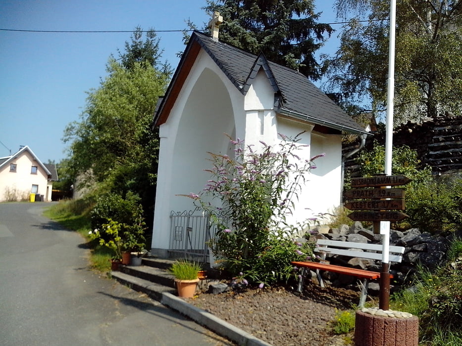
Von Kestert aus geht’s erst ein Stück entlang der B42 bis zu einem Durchgang der unter die Gleise führt. Den Feldweg noch ein Stück weiter laufen, dann geht’s links hoch zur Klamm. Am Ende der Klamm zweigen wir links ab und gehen weiter bis Oberkestert. Von dort sind wir die Straße runter nach Kestert gelaufen. Alternativ kann man auch den Rheinsteig gehen, welcher jedoch erheblich steiler ist.
Further information at
http://www.kestert.de/Galeria trasy


Mapa trasy i profil wysokości
Minimum height 20 m
Maximum height 248 m
More about the tour author
|
|
lahnwinni |
Komentarze

Auf der B 42 von Lahnstein bis Kestert fahren. Im Ort gibt’s genug Parkplätze.
GPS tracks
Trackpoints-
GPX / Garmin Map Source (gpx) download
-
TCX / Garmin Training Center® (tcx) download
-
CRS / Garmin Training Center® (crs) download
-
Google Earth (kml) download
-
G7ToWin (g7t) download
-
TTQV (trk) download
-
Overlay (ovl) download
-
Fugawi (txt) download
-
Kompass (DAV) Track (tk) download
-
Karta trasy (pdf) download
-
Original file of the author (gpx) download
More about the tour author
|
|
lahnwinni |
Add to my favorites
Remove from my favorites
Edit tags
Open track
My score
Rate