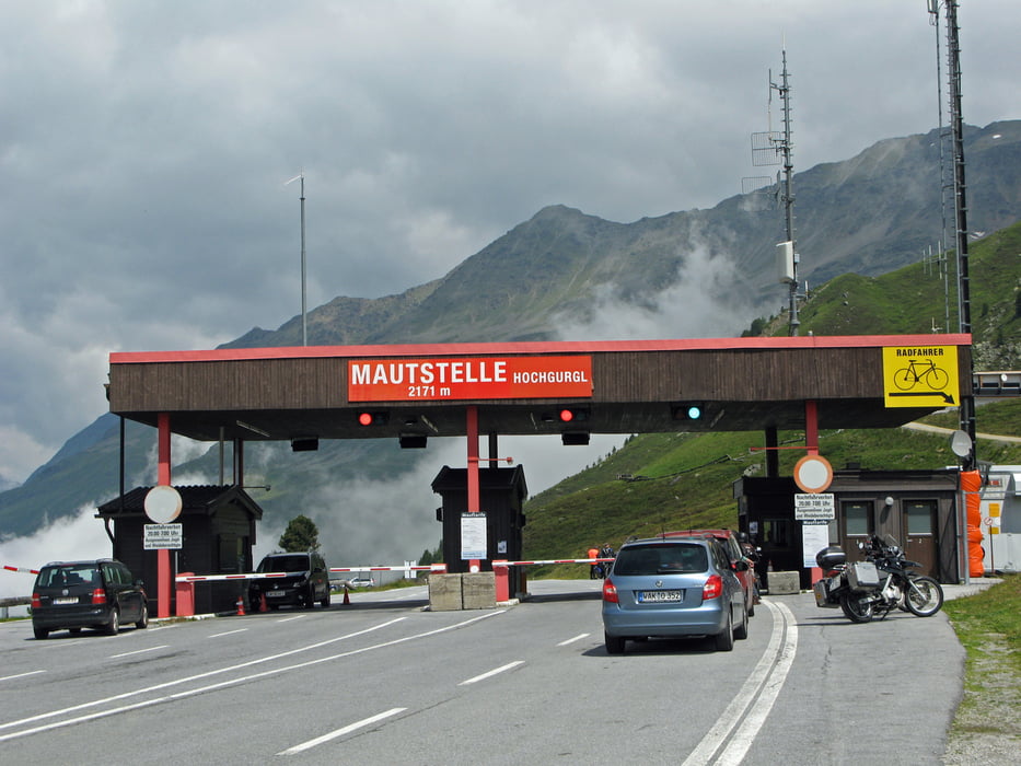
Großglockner Holchstraße - möglich früh aufbrechen, dann ist es noch leer. Wir sind gegen 09:30 los und hatten fast keinen Verkehr in Richtung Nord. Vom Norden kamen oben die ersten Busse entgegen ...
Further information at
/pl/tracks/detail.134060.htmlGaleria trasy
Mapa trasy i profil wysokości
Minimum height 478 m
Maximum height 2513 m
Komentarze

http://www.gps-tour.info/de/touren/detail.133963.html
GPS tracks
Trackpoints-
GPX / Garmin Map Source (gpx) download
-
TCX / Garmin Training Center® (tcx) download
-
CRS / Garmin Training Center® (crs) download
-
Google Earth (kml) download
-
G7ToWin (g7t) download
-
TTQV (trk) download
-
Overlay (ovl) download
-
Fugawi (txt) download
-
Kompass (DAV) Track (tk) download
-
Karta trasy (pdf) download
-
Original file of the author (gpx) download
Add to my favorites
Remove from my favorites
Edit tags
Open track
My score
Rate


