


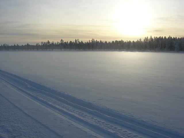
Ausflug von der Huskykompaniet über den See bei Merasjärvi.
Further information at
http://www.huskykompaniet.com/Galeria trasy
Mapa trasy i profil wysokości
Minimum height 294 m
Maximum height 328 m
More about the tour author

|
smartandem |
Komentarze

Mit dem Flugzeug nach Stockholm und dann weiter nach Kiruna. Von dort über die E10 bis Svappavaara. Dort links auf die E45 bis Vittangi. Dort weiter auf der 395 bis nach Merasjärvi. Wir haben auf der Huskykompaniet gewohnt.
GPS tracks
Trackpoints-
GPX / Garmin Map Source (gpx) download
-
TCX / Garmin Training Center® (tcx) download
-
CRS / Garmin Training Center® (crs) download
-
Google Earth (kml) download
-
G7ToWin (g7t) download
-
TTQV (trk) download
-
Overlay (ovl) download
-
Fugawi (txt) download
-
Kompass (DAV) Track (tk) download
-
Karta trasy (pdf) download
-
Original file of the author (g7t) download
More about the tour author
|
|
smartandem |
Add to my favorites
Remove from my favorites
Edit tags
Open track
My score
Rate