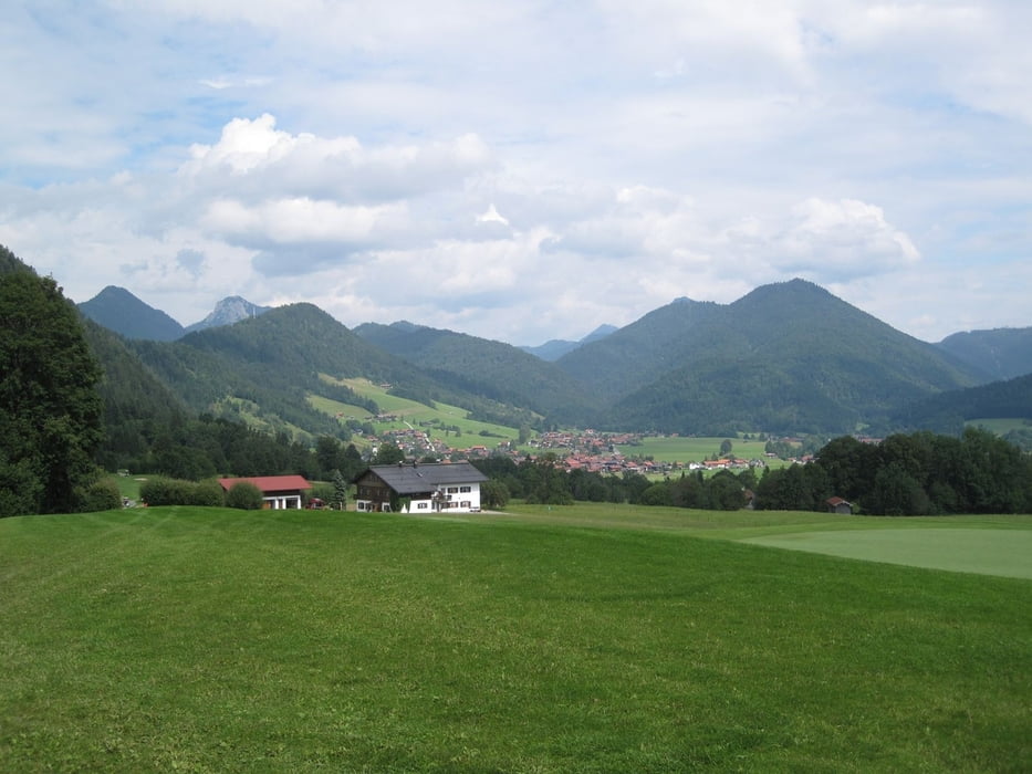
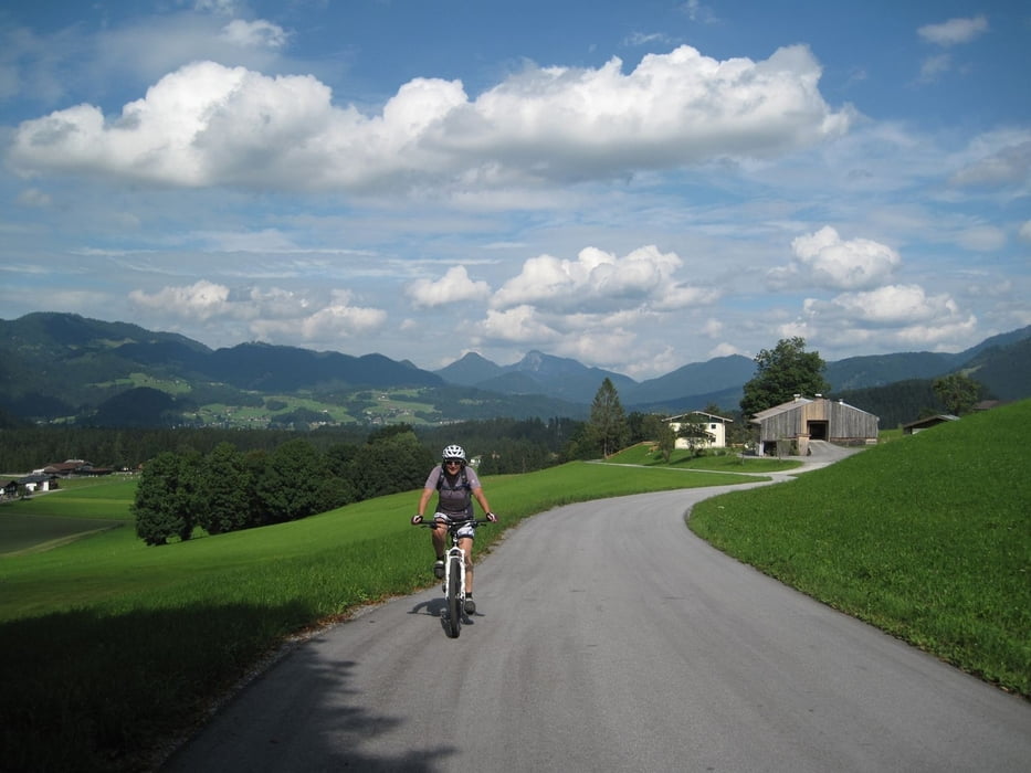
Von Reit im Winkl geht zunächst Richtung Birnbach, durch die Golfanlage und hinunter nach Kössen.
Der Radroute folgend geht es erneut durch eine Golfanlage zum Walchsee.
Zurück unterhalb der Harau Spitze vorbei über Kössen nach Reit im Winkl
Strecke ist auch problemlos mit dem Trekking Bike zu machen.
Galeria trasy
Mapa trasy i profil wysokości
Minimum height 663 m
Maximum height 878 m
Komentarze

GPS tracks
Trackpoints-
GPX / Garmin Map Source (gpx) download
-
TCX / Garmin Training Center® (tcx) download
-
CRS / Garmin Training Center® (crs) download
-
Google Earth (kml) download
-
G7ToWin (g7t) download
-
TTQV (trk) download
-
Overlay (ovl) download
-
Fugawi (txt) download
-
Kompass (DAV) Track (tk) download
-
Karta trasy (pdf) download
-
Original file of the author (gpx) download
Add to my favorites
Remove from my favorites
Edit tags
Open track
My score
Rate


