Login

Zapomniałeś swój login?

Cookies have to be accepted!
Your browser's cookie functionality is disabled. Please enable this functionality.

Not a member yet?

Register now
Login

Available for registred users only

Log in to use this feature.

Zapomniałeś swój login?

Cookies have to be accepted!
Your browser's cookie functionality is disabled. Please enable this functionality.

Not a member yet?

Register now
Filter
Kategorie
Advanced filters
  • Długość (km)
  • Wysokość
Zapisz filtr Reset filter

TrackRank

QRCode

Technical data

Długość4,5 km Wysokość296 m Way down234 m Czas trwania02:30 h:m Data17.02.2008
Oceny Author Krajobraz Czynnik zadowolenia Kondycja Technika

Statystyka

972 Widoki Oceny 97 Downloads / Pliki do pobrania Przeciętnie
Rate
  • Karta trasy
  • Dojazd
  • Downloads / Pliki do pobrania
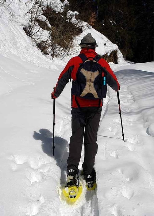
Winterwanderung von Steibis Schindelberg zur Alpe Vordere Fluh. Für diese Tour sind Grödel, oder bei viel Schnee, Schneeschuhe empfohlen. Einkehrmöglichkeit auf der Vorderen Fluhalpe und Alpe Hohenegg.

Further information at

http://www.vordere-fluh.de

Galeria trasy

Mapa trasy i profil wysokości

  • Open Street Map
  • Google
Minimum height 898 m Maximum height 1191 m Widok szczegółowy

More about the tour author

Bockrider
Member since 2007

Send private message

Komentarze

Oberstaufen- Steibis,Ortsanfang rechts vorbei am Hallenbad nach Schindelberg. Parkmöglichkeit im Bereich Skilift.

GPS tracks

Trackpoints
  • GPX / Garmin Map Source (gpx) download
  • TCX / Garmin Training Center® (tcx) download
  • CRS / Garmin Training Center® (crs) download
  • Google Earth (kml) download
  • G7ToWin (g7t) download
  • TTQV (trk) download
  • Overlay (ovl) download
  • Fugawi (txt) download
  • Kompass (DAV) Track (tk) download
  • Karta trasy (pdf) download
  • Original file of the author (gpx) download

More about the tour author

Bockrider
Member since 2007

Send private message
Share track
Add to my favorites
Remove from my favorites
Edit tags
My score
Rate
Trasa: Winterwanderung zur Fluhalpe
Rodzaj: Wędrówki
Długość: 4,5 km
Evaluated on:
Czas trwania:
Day(s)
Hour(s)
Minute(s)
Ocena: Krajobraz Czynnik zadowolenia Kondycja Technika