Login

Zapomniałeś swój login?

Cookies have to be accepted!
Your browser's cookie functionality is disabled. Please enable this functionality.

Not a member yet?

Register now
Login

Available for registred users only

Log in to use this feature.

Zapomniałeś swój login?

Cookies have to be accepted!
Your browser's cookie functionality is disabled. Please enable this functionality.

Not a member yet?

Register now
Filter
Kategorie
Advanced filters
  • Długość (km)
  • Wysokość
Zapisz filtr Reset filter

TrackRank

QRCode

Technical data

Długość155,0 km Wysokość1361 m Way down1301 m Czas trwania06:20 h:m Data17.08.2014
Oceny Author Krajobraz Czynnik zadowolenia Kondycja Technika

Statystyka

1643 Widoki Oceny 129 Downloads / Pliki do pobrania Przeciętnie
Rate
  • Karta trasy
  • Dojazd
  • Downloads / Pliki do pobrania

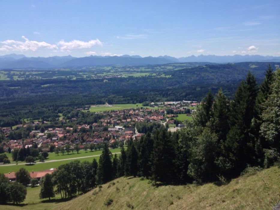
Schöne lange Sonntagsrunde durch das Fünf-Seen-Land und den Pfaffenwinkel über zumeist Nebenstraßen. Höhepunkt ist der Hohenpeißenberg, die bayerische Rigi, der ein umwerfendes und umfassendes Panorama vom Großvenediger über Karwendel und Wetterstein/Zugspitze bis in die Lechtaler und Allgäuer Alpen bietet.

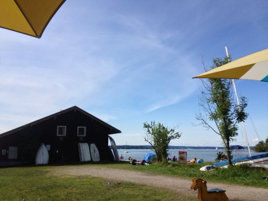
Stopps bieten sich an den Seen an.

Zwischen Raisting und Peißenberg und bei der zweiten Ortsduchrfahrt Peißenberg sind kurze Strecken unbefestigten Wegs zu meistern. Sind aber unproblematisch.


Galeria trasy

Mapa trasy i profil wysokości

  • Open Street Map
  • Google
Minimum height 474 m Maximum height 984 m Widok szczegółowy

More about the tour author

m-tier
Member since 2009

Send private message

Komentarze

GPS tracks

Trackpoints
  • GPX / Garmin Map Source (gpx) download
  • TCX / Garmin Training Center® (tcx) download
  • CRS / Garmin Training Center® (crs) download
  • Google Earth (kml) download
  • G7ToWin (g7t) download
  • TTQV (trk) download
  • Overlay (ovl) download
  • Fugawi (txt) download
  • Kompass (DAV) Track (tk) download
  • Karta trasy (pdf) download
  • Original file of the author (gpx) download

More about the tour author

m-tier
Member since 2009

Send private message
Share track
Add to my favorites
Remove from my favorites
Edit tags
My score
Rate
Trasa: Von München zum Hohenpeißenberg und zurück
Rodzaj: Rower szosowy
Długość: 155,0 km
Evaluated on:
Czas trwania:
Day(s)
Hour(s)
Minute(s)
Ocena: Krajobraz Czynnik zadowolenia Kondycja Technika