

vom Hotel Randolins quer rüber zur Chantarella Bergstation. Mit der Bahn hinauf zur Corviglia und gleich mal den Flowtrail gefahren. Unten hat mir dann irgendwas gefehlt. Ich bin dann nochmal zur Corviglia hoch. Ziemlich steil, musste ein paar mal schieben. Von dort in die Bahn und hoch auf den Piz Nair. Von dort den Trail Richtung Bever genommen. Der Trail ist insgesamt gut fahrbar. Mußte manchmal schieben, weil mir die Luft ausgegangen ist. Kurz nach der Alp Murtatsch geht der Trail in den Wald. Ab hier ist es das reine Vergnügen nach Bever hinab zu fahren. Unten angekommen wieder zurück zum Hotel.
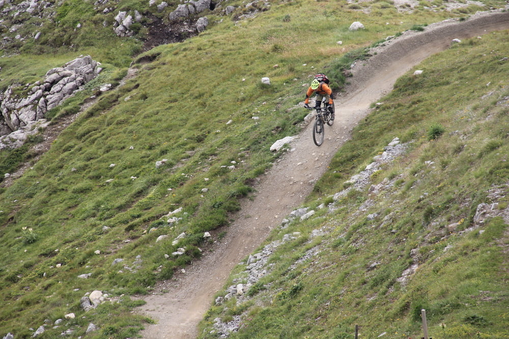
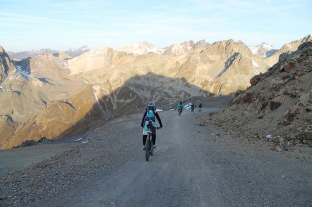
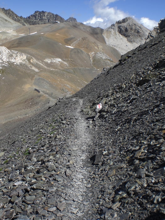
Galeria trasy


Mapa trasy i profil wysokości
Minimum height 1719 m
Maximum height 3030 m
More about the tour author
|
|
Fruehaufsteher |
Komentarze

GPS tracks
Trackpoints-
GPX / Garmin Map Source (gpx) download
-
TCX / Garmin Training Center® (tcx) download
-
CRS / Garmin Training Center® (crs) download
-
Google Earth (kml) download
-
G7ToWin (g7t) download
-
TTQV (trk) download
-
Overlay (ovl) download
-
Fugawi (txt) download
-
Kompass (DAV) Track (tk) download
-
Karta trasy (pdf) download
-
Original file of the author (gpx) download
More about the tour author
|
|
Fruehaufsteher |
Add to my favorites
Remove from my favorites
Edit tags
Open track
My score
Rate