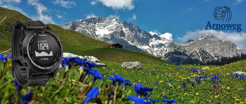
Diese Tour führt entlang des Arnoweges und bietet so die optimale Möglichkeit des Land Salzburg mit all seinen Gauen auf Schusters Rappen bestens kennenzulernen.
Bis jetzt ist habe ich die Strecke von Abtenau über den gesamten Flachgau bis in den Pinzgau bis nach Maria Alm begangen und aufgezeichnet .
Erweiterungen folgen ! Also einfach wieder mal reinschauen. Weitere Infos auch unter
http://www.satcom.at/arnoweg-2/
Further information at
http://www.satcom.at/arnoweg-2/Mapa trasy i profil wysokości
Minimum height 323 m
Maximum height 2118 m
Komentarze

GPS tracks
Trackpoints-
GPX / Garmin Map Source (gpx) download
-
TCX / Garmin Training Center® (tcx) download
-
CRS / Garmin Training Center® (crs) download
-
Google Earth (kml) download
-
G7ToWin (g7t) download
-
TTQV (trk) download
-
Overlay (ovl) download
-
Fugawi (txt) download
-
Kompass (DAV) Track (tk) download
-
Karta trasy (pdf) download
-
Original file of the author (gpx) download
Add to my favorites
Remove from my favorites
Edit tags
Open track
My score
Rate

