

Vom Hotel Randolins geht es direkt hinauf Richtung Alp Suvretta. An der 1. Brücke ist der Einstieg in die Tour. Auf einem Singletrail (fahren und schieben) geht es nach Silvaplana. Grandiose Aussichten auf Seen und Berge. In Silvaplana gehts am Bergrücken meistens auf Schotter-sträßchen den Berg hinauf und am Berg entlang. Von Panorama keine Spur. Von St. Moritz Bad gehts es hinauf zur Alpe Staz und hinunter nach Celerina. Von Celerina nach Samedan. Von Samedan geht es erst auf Asphalt dann auf Schotter hinauf zur Alpe Muntatsch. Wer an die Höhenluft aklimatisiert ist, fährt das Ganze in einem Stück hoch. Ab der Alpe geht es weiter als Singletrail am Berghang entlang. Manchmal ein bisschen ausgesetzt, aber immer gut fahrbar bis zur Bergstation Marguns. Ab Marguns geht es auf einem Schottersträßchen steil zur Corviglia hinauf. Von dort auf einem der Flowtrails zum Gasthof Paradiso und auf Schotter zur Alp Suvretta. Bei der ersten Brücke verlassen wir den Schotterweg und fahren auf der gegenüberliegenden Seite des Baches auf einem Singletrail zurück zum Einstieg.
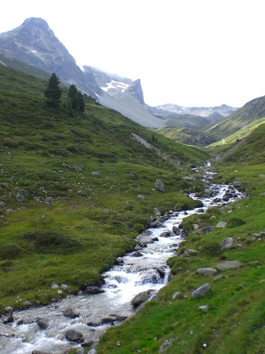
Galeria trasy


Mapa trasy i profil wysokości
Minimum height 1720 m
Maximum height 2504 m
More about the tour author
|
|
Fruehaufsteher |
Komentarze

GPS tracks
Trackpoints-
GPX / Garmin Map Source (gpx) download
-
TCX / Garmin Training Center® (tcx) download
-
CRS / Garmin Training Center® (crs) download
-
Google Earth (kml) download
-
G7ToWin (g7t) download
-
TTQV (trk) download
-
Overlay (ovl) download
-
Fugawi (txt) download
-
Kompass (DAV) Track (tk) download
-
Karta trasy (pdf) download
-
Original file of the author (gpx) download
More about the tour author
|
|
Fruehaufsteher |
Add to my favorites
Remove from my favorites
Edit tags
Open track
My score
Rate