


2. Etappe Saar - Mosel
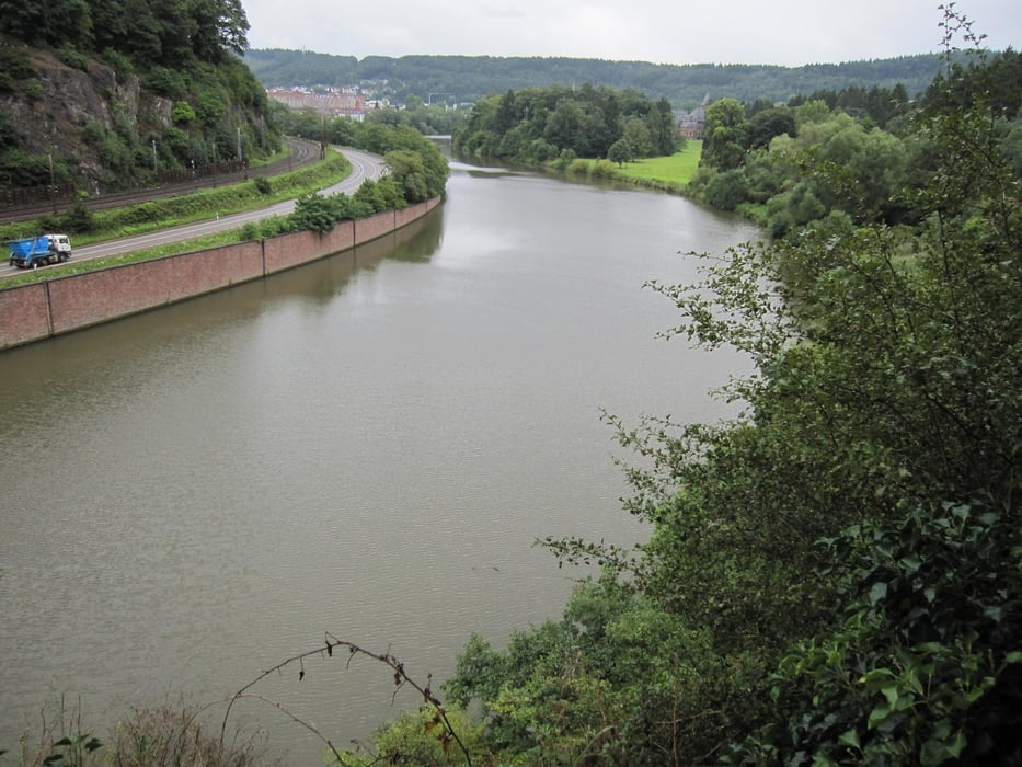
Die Streckenbeläge sind teils auch unbefestigt und bei Regenwetter (was wir teils leider hatten) werden Räder und Taschen mit reichlich rotem Dreck bespritzt. Aber das kann man ja alles reinigen. Zu fahren sind die Wege jedoch recht gut. Eine Steigung hinter Mettlach ist etwas heftig, aber recht kurz und daher durchaus auch für Kinder zu bewältigen.
Hinweis: Vor und bei Taben-Rodt weichen die aufgenommen GPS-Daten deutlich vom Weg ab. Dieses ist wohl der Tallage der Mosel zuzuschreiben. Auf Grund der recht guten Ausschilderung des Saar-Radweges sollte die Strecke dennoch leicht zu fahren sein.
Galeria trasy


Mapa trasy i profil wysokości
Minimum height -102 m
Maximum height 345 m
More about the tour author

|
manni-mammut |
Komentarze

GPS tracks
Trackpoints-
GPX / Garmin Map Source (gpx) download
-
TCX / Garmin Training Center® (tcx) download
-
CRS / Garmin Training Center® (crs) download
-
Google Earth (kml) download
-
G7ToWin (g7t) download
-
TTQV (trk) download
-
Overlay (ovl) download
-
Fugawi (txt) download
-
Kompass (DAV) Track (tk) download
-
Karta trasy (pdf) download
-
Original file of the author (gpx) download
More about the tour author
|
|
manni-mammut |
Add to my favorites
Remove from my favorites
Edit tags
Open track
My score
Rate