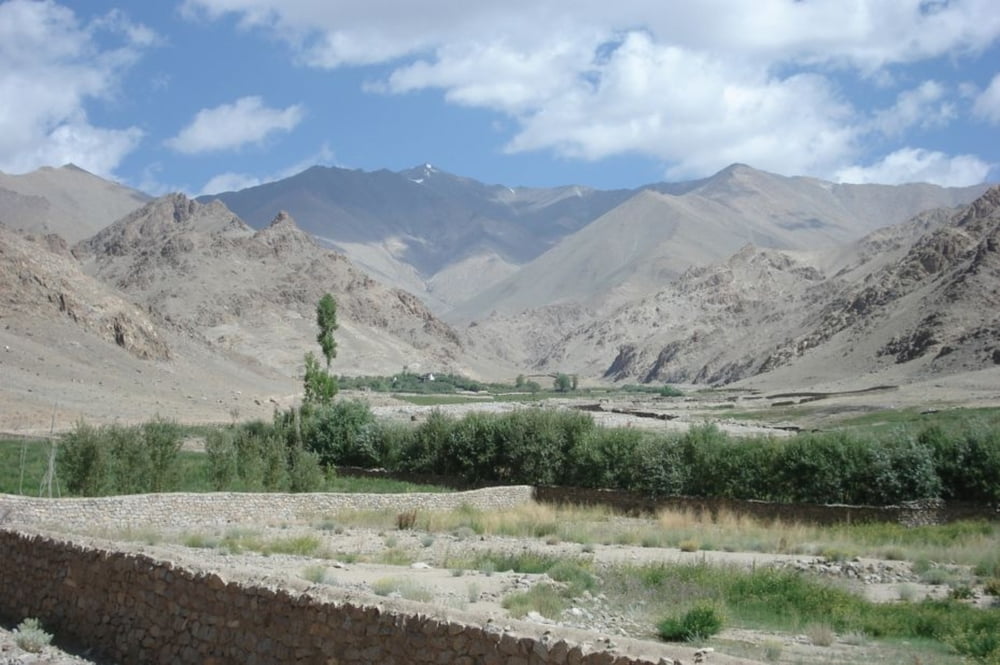
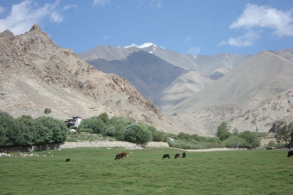
Kurze Wanderung oberhalb von Leh ins recht stille Gyamsa Valley. Zur Akklimatisation vor einem Trekking gut geeignet, wenn man gerade kein intensives Besichtigungsprogramm möchte.
Die Wanderung folgt einem Fahrweg, der bis zu einem eingezäunten Anwesen führt. Abstieg gleicher Weg wie Aufstieg.
Die angegebene Zeit 1:40 bezieht sich auf den Aufstieg am dritten Tag in Leh (also schlechte Akklimatisation). Für den Abstieg braucht man weniger als eine Stunde.
Further information at
http://www.bielefeldt.de/ladakh14d.htmGaleria trasy
Mapa trasy i profil wysokości
Minimum height 3660 m
Maximum height 3870 m
Komentarze

Von Leh Richtung Tisseru Stupa; am Ende der Vegetation nicht zum Stupa nach links, sondern rechts hoch; Startpunkt nahe der Abzweigung.
GPS tracks
Trackpoints-
GPX / Garmin Map Source (gpx) download
-
TCX / Garmin Training Center® (tcx) download
-
CRS / Garmin Training Center® (crs) download
-
Google Earth (kml) download
-
G7ToWin (g7t) download
-
TTQV (trk) download
-
Overlay (ovl) download
-
Fugawi (txt) download
-
Kompass (DAV) Track (tk) download
-
Karta trasy (pdf) download
-
Original file of the author (gpx) download
Add to my favorites
Remove from my favorites
Edit tags
Open track
My score
Rate


