


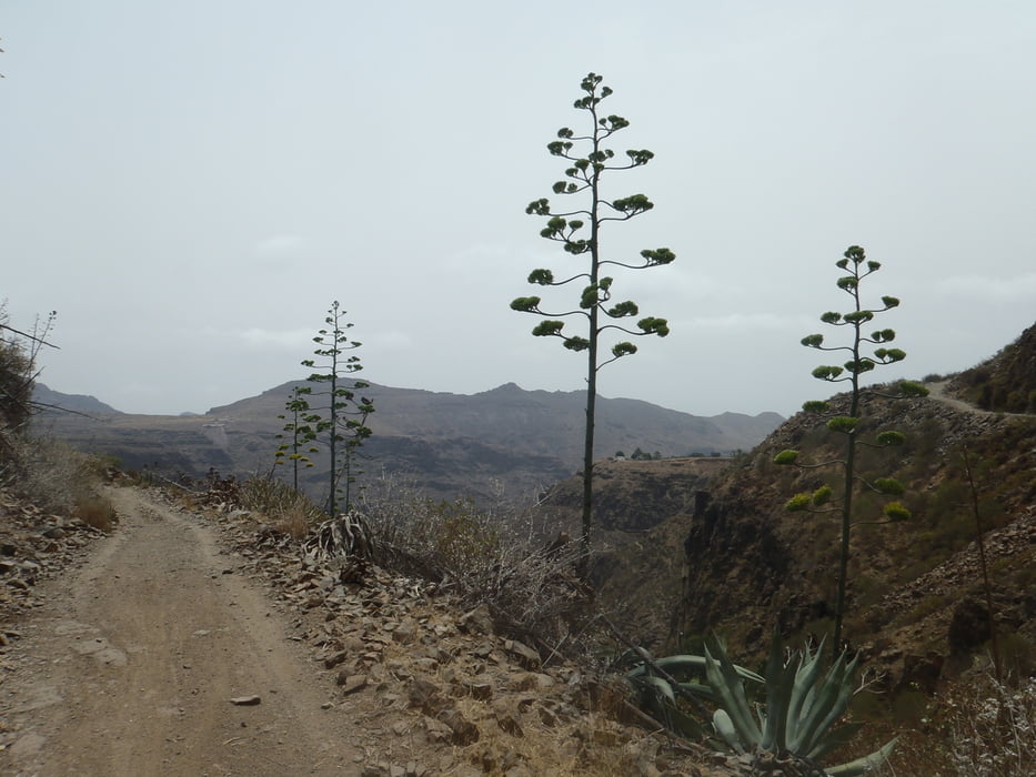
Sehr steinige, vor allem für Liebhaber von Felsformationen und Sukkulenten (Kakteen, Agaven etc.) tolle Tour.
Die Auffahrt ist nur selten steil, aber sehr lang und steinig. Im Bereich Amacigo (gegenüber von El Ingenio) verfährt man sich gerene, da die Autostraße links hinauf führt (würde aber auch zum Ziel führen). Dann bald auch auf Asphalt.
In Santa Lucia gibt es ein große Gaststätte mit Terasse und guter Küche.
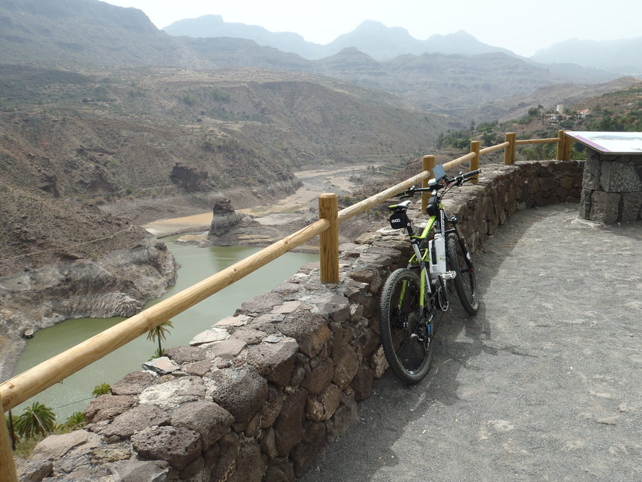
Die Abfahrt ab dem Stausee Embalse de Tirajana ist schön aber sehr steinig: Ein Fully sehr zu empfehlen.
Galeria trasy
Mapa trasy i profil wysokości
Minimum height 73 m
Maximum height 698 m
More about the tour author
|
|
blackrat |
Komentarze

Mit Leihwagen oder Bike-Shuttle nach Aldea Blanca oder El Doctoral bzw. Sardina fahren. Zwischen Sardina und Aldea Blanca gibt es keine Brücke über den Canyon, man muss also immer die Schleife bis in die Nähe der Autobahn fahren.
Inmitten von Aldea Blanca gibt es eine große unbebaute Fläche, die als Parkplatz benutzt werden kann.
In Sardina verfährt man sich gerne: Bitte genau auf Karte oder Navi schauen.
GPS tracks
Trackpoints-
GPX / Garmin Map Source (gpx) download
-
TCX / Garmin Training Center® (tcx) download
-
CRS / Garmin Training Center® (crs) download
-
Google Earth (kml) download
-
G7ToWin (g7t) download
-
TTQV (trk) download
-
Overlay (ovl) download
-
Fugawi (txt) download
-
Kompass (DAV) Track (tk) download
-
Karta trasy (pdf) download
-
Original file of the author (gpx) download
More about the tour author
|
|
blackrat |
Add to my favorites
Remove from my favorites
Edit tags
Open track
My score
Rate