


Gestartet wird bei dieser Tour in Lübben. Über geteerte Wege geht es nach Alt-Zauche. Dort kann dann auch die erste Pause www.panoramio.com/photo/111517779 gemacht werden.
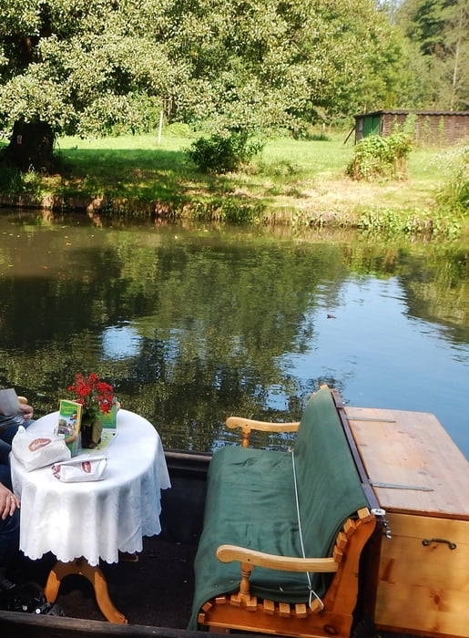
Weiter geht es dann über "schlechtere" Wege nach Lübbenau. Ab und zu werden kleine Spreearme über kleine Brücken mit Treppen gequert. Bei Ankunft in Lübbenau wird im "Kleinen Hafen am Spreeschlößchen" die Chance eines 1,5 h Bootsausflugs genutzt www.panoramio.com/photo/111518995.
Danach wird noch ein kurzer Ausflug zum Freiland Museum in Lehde gemacht www.panoramio.com/photo/111520433.
Anschließend geht es auf kürzestem Weg an der Spree entlang zurück nach Lübben.
Alle Bilder - in umgekehrter Reihenfolge - gibt es hier: www.panoramio.com/photo/111520848
Further information at
http://www.unesco.de/spreewald.htmlGaleria trasy


Mapa trasy i profil wysokości
Minimum height 40 m
Maximum height 60 m
More about the tour author
|
|
MatthiasBy |
Komentarze

Die Orte Lübben und Lübbenau sind beide sehenswert. Parken ist kein Problem.
GPS tracks
Trackpoints-
GPX / Garmin Map Source (gpx) download
-
TCX / Garmin Training Center® (tcx) download
-
CRS / Garmin Training Center® (crs) download
-
Google Earth (kml) download
-
G7ToWin (g7t) download
-
TTQV (trk) download
-
Overlay (ovl) download
-
Fugawi (txt) download
-
Kompass (DAV) Track (tk) download
-
Karta trasy (pdf) download
-
Original file of the author (gpx) download
More about the tour author
|
|
MatthiasBy |
Add to my favorites
Remove from my favorites
Edit tags
Open track
My score
Rate