


Tour die vorwiegend auf Asphalt verläuft, somit auch bei nassem Wetter herrvoragend zu laufen ist.
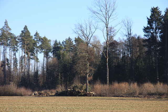
Es geht im Bodenseehinterland, zwischen Immenstaad, Markdorf, Ittendorf durch Felder, Wälder und Apfelplantagen.
Die Wege sind nur sehr wenig befahren.
Es geht im Bodenseehinterland, zwischen Immenstaad, Markdorf, Ittendorf durch Felder, Wälder und Apfelplantagen.
Die Wege sind nur sehr wenig befahren.
Further information at
http://www.abenteuerpark.com/Galeria trasy
Mapa trasy i profil wysokości
Minimum height 409 m
Maximum height 446 m
More about the tour author

|
jonnywalker |
Komentarze
Immenstaad, Freizeitpark,
Hochseilgarten, Parkmöglichkeit.
Hochseilgarten, auch mal ein Erlebnis
Hochseilgarten, Parkmöglichkeit.
Hochseilgarten, auch mal ein Erlebnis
GPS tracks
Trackpoints-
GPX / Garmin Map Source (gpx) download
-
TCX / Garmin Training Center® (tcx) download
-
CRS / Garmin Training Center® (crs) download
-
Google Earth (kml) download
-
G7ToWin (g7t) download
-
TTQV (trk) download
-
Overlay (ovl) download
-
Fugawi (txt) download
-
Kompass (DAV) Track (tk) download
-
Karta trasy (pdf) download
-
Original file of the author (gpx) download
More about the tour author
|
|
jonnywalker |
Add to my favorites
Remove from my favorites
Edit tags
Open track
My score
Rate
Schöne Runde