


Mit der Untersbergbahn zur Bergstation, von dort geht es los.
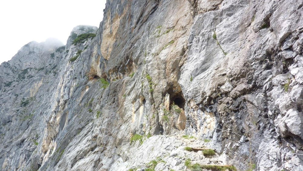
7 km und 750 HM hören sich nicht dramatisch an. Die Strecke geht aber größtenteils steil bergab und -auf. Teilweise wandert man durch Tunnels und über in den Fels gehauene Treppen an "glatten" Felswänden hoch.
Man kann die Strecke gut mit größeren Kindern (ca. ab 8 Jahre) machen. Für kleinere Kinder halte ich sie für zu anstrengend.
Unterwegs kann man sich in der Toni Lenz Hütte stärken und kurz vorher ggf. die Eishöhle besuchen. Letzteres haben wir nicht gemacht.
Further information at
http://www.berchtesgadener-land.com/de/thomas-eder-steig/Galeria trasy


Mapa trasy i profil wysokości
Minimum height 1270 m
Maximum height 1888 m
More about the tour author
|
|
buehlems |
Komentarze

GPS tracks
Trackpoints-
GPX / Garmin Map Source (gpx) download
-
TCX / Garmin Training Center® (tcx) download
-
CRS / Garmin Training Center® (crs) download
-
Google Earth (kml) download
-
G7ToWin (g7t) download
-
TTQV (trk) download
-
Overlay (ovl) download
-
Fugawi (txt) download
-
Kompass (DAV) Track (tk) download
-
Karta trasy (pdf) download
-
Original file of the author (gpx) download
More about the tour author
|
|
buehlems |
Add to my favorites
Remove from my favorites
Edit tags
Open track
My score
Rate