Login

Zapomniałeś swój login?

Cookies have to be accepted!
Your browser's cookie functionality is disabled. Please enable this functionality.

Not a member yet?

Register now
Login

Available for registred users only

Log in to use this feature.

Zapomniałeś swój login?

Cookies have to be accepted!
Your browser's cookie functionality is disabled. Please enable this functionality.

Not a member yet?

Register now
Filter
Kategorie
Advanced filters
  • Długość (km)
  • Wysokość
Zapisz filtr Reset filter

TrackRank

QRCode

Technical data

Długość21,4 km Wysokość448 m Way down372 m Czas trwania05:00 h:m Data22.09.2014
Oceny Author Krajobraz Czynnik zadowolenia Kondycja Technika

Statystyka

112 Widoki Oceny 4 Downloads / Pliki do pobrania Przeciętnie
Rate
  • Karta trasy
  • Dojazd
  • Downloads / Pliki do pobrania
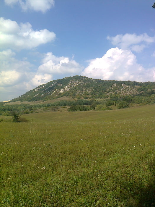
 Dorogtól nem túl szép akácoson át kezdődik az út,Kesztölc után eltekeredtem egy kicsit,a régi OKT jelen mentem,ami már egy lezárt területre vezetett.Klastrompusztán a tölgyfa büfé zárva volt,csap viszont van!

Galeria trasy

Mapa trasy i profil wysokości

  • Open Street Map
  • Google
Minimum height 128 m Maximum height 362 m Widok szczegółowy

More about the tour author

frontera74
Member since 2011

Send private message

Komentarze

Dorog busz

GPS tracks

Trackpoints
  • GPX / Garmin Map Source (gpx) download
  • TCX / Garmin Training Center® (tcx) download
  • CRS / Garmin Training Center® (crs) download
  • Google Earth (kml) download
  • G7ToWin (g7t) download
  • TTQV (trk) download
  • Overlay (ovl) download
  • Fugawi (txt) download
  • Kompass (DAV) Track (tk) download
  • Karta trasy (pdf) download
  • Original file of the author (gpx) download

More about the tour author

frontera74
Member since 2011

Send private message
Share track
Add to my favorites
Remove from my favorites
Edit tags
My score
Rate
Trasa: OKT Dorog-Piliscsaba
Rodzaj: Wędrówki
Długość: 21,4 km
Evaluated on:
Czas trwania:
Day(s)
Hour(s)
Minute(s)
Ocena: Krajobraz Czynnik zadowolenia Kondycja Technika