

Via Italiana: Vom Parkplatz den Wegweisern "via Ferrata" folgen. Nach 100hm Aufstieg führt zeigt ein
Wegweiser bei Forcella Mangart links vom Normalweg über einen Zaun. Von dort steil und grasig-lehmig
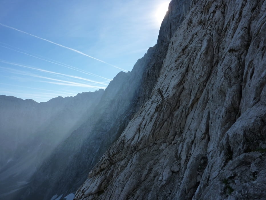
150hm runter auf die Nordseite (Bivacco Nogara), wo man das Geröllfeld zum Einstieg quert.
Slowenischer Weg: Nach dem Ausstieg von der Via Italiana den Normalweg ein Stück runter zu einem
großen Felsblock, auf diesem ist der Steig angeschrieben (von unten lesbar). Von da Richtung Südwesten
über das Geröllfeld zum Einstieg queren (Wegpunkt)
Abstieg
Der Normalweg führt vom Mangartgipfel östlich und weiter westwärts.
Galeria trasy


Mapa trasy i profil wysokości
Minimum height 1857 m
Maximum height 2646 m
More about the tour author
|
|
harald07071 |
Komentarze

Die A2 (Südautobahn) von Villach kommend hinter der Staatsgrenze bei der Abfahrt Tarvis verlassen, gleich "links" abbiegen. Bei der nächsten Kreuzung "rechts" abbiegen und der Beschilderung zum Predil-Pass folgen. Einen Kilometer nach dem ital./slow. Grenzübergang "links" abbiegen auf die (manchmal) mautpflichtige Bergstraße (5 €, 11km).
GPS tracks
Trackpoints-
GPX / Garmin Map Source (gpx) download
-
TCX / Garmin Training Center® (tcx) download
-
CRS / Garmin Training Center® (crs) download
-
Google Earth (kml) download
-
G7ToWin (g7t) download
-
TTQV (trk) download
-
Overlay (ovl) download
-
Fugawi (txt) download
-
Kompass (DAV) Track (tk) download
-
Karta trasy (pdf) download
-
Original file of the author (gpx) download
More about the tour author
|
|
harald07071 |
Add to my favorites
Remove from my favorites
Edit tags
Open track
My score
Rate