


Start und Ziel ist der Campingplatz Stella Maris in Umag. Dort befindet sich auch ein gebührenpflichtiger Parkplatz. Von dort folgen wir der Beschilderung W15 ins Landesinnere nach Murine und Vardic. Danach Richtung Meer über Lovrecia, Duba und in Umag den Hafen entlang wieder zum Campingplatz.
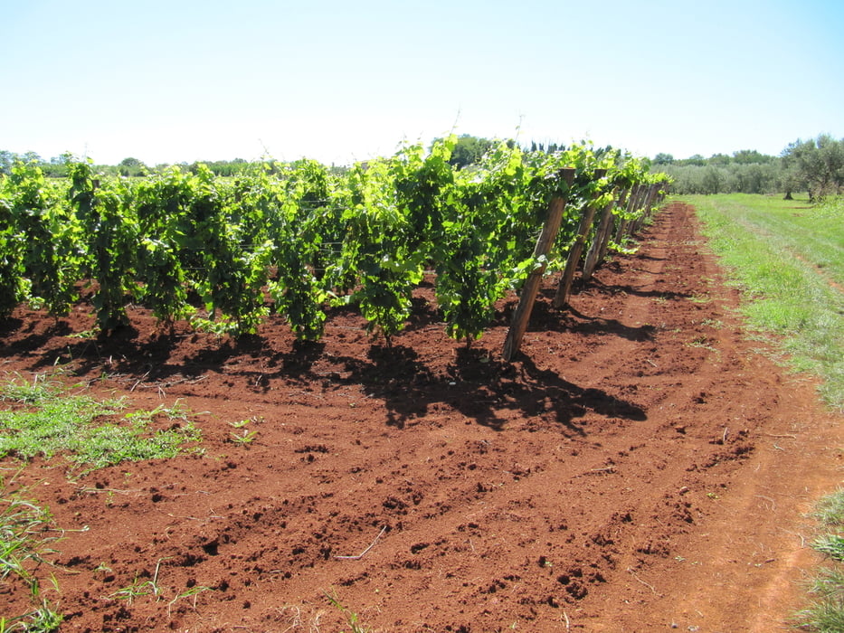
Sehr abwechlungsreiche Tour über schöne Dörfer, vorbei an Wein- und Olivenfelder, am Meer entlang mit einigen Bademöglichkeiten (also Badesachen nicht vergessen) und den schönen Hafen von Umag. Die Strecke wechselt immer wieder zwischen meist wenig befahrenen Straßen und Feldwegen.
Galeria trasy

Mapa trasy i profil wysokości
Minimum height -1 m
Maximum height 116 m
More about the tour author

|
rabe5 |
Komentarze

Gebührenpflichtige Parkmöglichkeit am Campingplatz Stella Maris
GPS tracks
Trackpoints-
GPX / Garmin Map Source (gpx) download
-
TCX / Garmin Training Center® (tcx) download
-
CRS / Garmin Training Center® (crs) download
-
Google Earth (kml) download
-
G7ToWin (g7t) download
-
TTQV (trk) download
-
Overlay (ovl) download
-
Fugawi (txt) download
-
Kompass (DAV) Track (tk) download
-
Karta trasy (pdf) download
-
Original file of the author (gpx) download
More about the tour author
|
|
rabe5 |
Add to my favorites
Remove from my favorites
Edit tags
Open track
My score
Rate