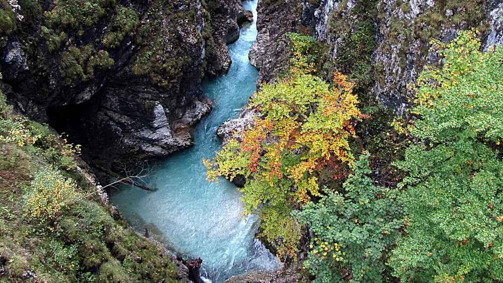
Dies ist eine kleine Wanderung vom Lautersee über die spektakuläre Leutaschklamm zur Ebertkanzel und dann weiter zum Ferchensee. Die Route ist auch für weitgehend ungeübte Wanderer angenehm zu laufen.
Further information at
http://www.leutaschklamm.com/Galeria trasy
Mapa trasy i profil wysokości
Minimum height 941 m
Maximum height 1182 m
Komentarze

Am Lautersee und am Ferchensee gibt es Wanderbusse.
GPS tracks
Trackpoints-
GPX / Garmin Map Source (gpx) download
-
TCX / Garmin Training Center® (tcx) download
-
CRS / Garmin Training Center® (crs) download
-
Google Earth (kml) download
-
G7ToWin (g7t) download
-
TTQV (trk) download
-
Overlay (ovl) download
-
Fugawi (txt) download
-
Kompass (DAV) Track (tk) download
-
Karta trasy (pdf) download
-
Original file of the author (gpx) download
Add to my favorites
Remove from my favorites
Edit tags
Open track
My score
Rate


