Login

Zapomniałeś swój login?

Cookies have to be accepted!
Your browser's cookie functionality is disabled. Please enable this functionality.

Not a member yet?

Register now
Login

Available for registred users only

Log in to use this feature.

Zapomniałeś swój login?

Cookies have to be accepted!
Your browser's cookie functionality is disabled. Please enable this functionality.

Not a member yet?

Register now
Filter
Kategorie
Advanced filters
  • Długość (km)
  • Wysokość
Zapisz filtr Reset filter

TrackRank

QRCode

Technical data

Długość34,8 km Wysokość677 m Way down1794 m Czas trwania00:00 h:m Data28.09.2014
Oceny Author Krajobraz Czynnik zadowolenia Kondycja Technika

Statystyka

399 Widoki Oceny 65 Downloads / Pliki do pobrania Przeciętnie
Rate
  • Karta trasy
  • Dojazd
  • Downloads / Pliki do pobrania
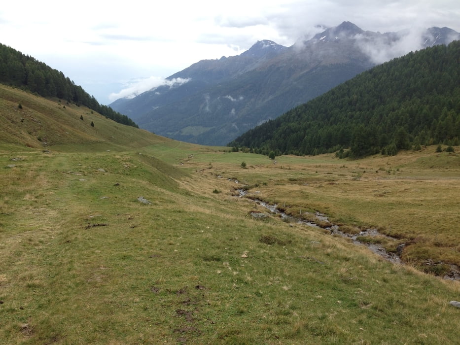
In Trafoi mit dem Lift auf die Furkelhütte. Wer will, kann auch mit dem Rad da hoch. Von der Furkelhütte geht es erst einmal lange Zeit bergab bis zum Anstieg zur Stilfser Hütte. Von dort geht es nun nur noch bergab, erst über Wiesen dann über schöne Waldwege. Zum Ende kommt ein toller Singletrail runter bis Stilfserbrücke.

Galeria trasy

Mapa trasy i profil wysokości

  • Open Street Map
  • Google
Minimum height 915 m Maximum height 2165 m Widok szczegółowy

More about the tour author

hpv
Member since 2009

Send private message

Komentarze

GPS tracks

Trackpoints
  • GPX / Garmin Map Source (gpx) download
  • TCX / Garmin Training Center® (tcx) download
  • CRS / Garmin Training Center® (crs) download
  • Google Earth (kml) download
  • G7ToWin (g7t) download
  • TTQV (trk) download
  • Overlay (ovl) download
  • Fugawi (txt) download
  • Kompass (DAV) Track (tk) download
  • Karta trasy (pdf) download
  • Original file of the author (gpx) download

More about the tour author

hpv
Member since 2009

Send private message
Share track
Add to my favorites
Remove from my favorites
Edit tags
My score
Rate
Trasa: Furkelhütte - Stilfzer Hütte - Stilfzerbrückke - Mals
Rodzaj: Rower górski (MTB)
Długość: 34,8 km
Evaluated on:
Czas trwania:
Day(s)
Hour(s)
Minute(s)
Ocena: Krajobraz Czynnik zadowolenia Kondycja Technika