


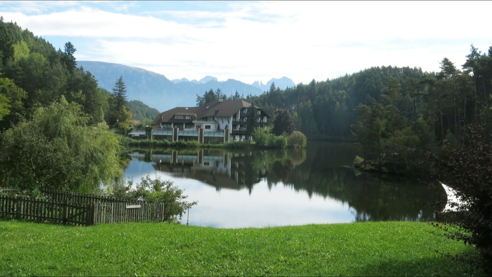
Vom Bahnhof nach rechts mit "35" aufwärts, an Kreisverkehr links ansteigend, weiter oben auf der "Freud- Promenade" bald im Wald weiter. Vor Lichtenstern folgen wir dem Wegweiser "Wolfsgruben" abwärts zur Bedarfshaltestelle "Lichtenstern". Im Wald abwärts kommen wir am "Imkermuseum" vorbei. Vor diesem rechts ab nach Wolfsgruben. An Kapelle links an der Straße zum Wolfsgruben- See. Wir umrunden diesen: am Hotel "Weyrerhof" direkt hinter Hotel links um den See. Zurück nach Wolfsgruben, vor Kapelle links über Wiese nach Oberbozen. Zurück gemütlich mit der Schmalspurbahn nach Klobenstein
Further information at
http://www.terrasound.de/gemafreie-musik-kostenlos-downloaden/Galeria trasy


Mapa trasy i profil wysokości
Minimum height 1176 m
Maximum height 1279 m
More about the tour author
|
|
heinz-57 |
Komentarze

Von Bozen auf kurvenreicher Straße nach Klobenstein.
GPS tracks
Trackpoints-
GPX / Garmin Map Source (gpx) download
-
TCX / Garmin Training Center® (tcx) download
-
CRS / Garmin Training Center® (crs) download
-
Google Earth (kml) download
-
G7ToWin (g7t) download
-
TTQV (trk) download
-
Overlay (ovl) download
-
Fugawi (txt) download
-
Kompass (DAV) Track (tk) download
-
Karta trasy (pdf) download
-
Original file of the author (gpx) download
More about the tour author
|
|
heinz-57 |
Add to my favorites
Remove from my favorites
Edit tags
Open track
My score
Rate