


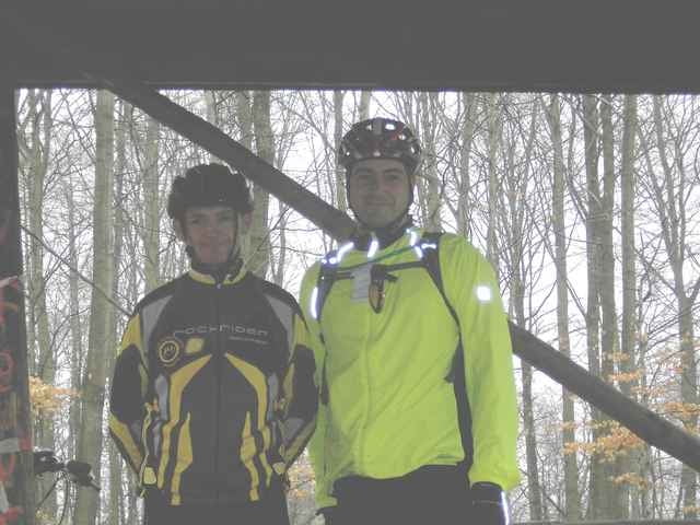
Fahrt um Alsting um einen Road Book zu erstellen für die Kinder vom MTB Club Morsbach.
Road Book tracé pour l'école de cyclo VTT de Morsbach à travers la forêt aux alentours d'Alsting.
Road Book tracé pour l'école de cyclo VTT de Morsbach à travers la forêt aux alentours d'Alsting.
Galeria trasy
Mapa trasy i profil wysokości
Minimum height 203 m
Maximum height 377 m
More about the tour author
|
|
pascal.67 |
Komentarze
Start am Restaurant die "Simbach Mühle" in Alsting.
Départ au restaurant la "Simbach Mühle" d'Alsting.
Départ au restaurant la "Simbach Mühle" d'Alsting.
GPS tracks
Trackpoints-
GPX / Garmin Map Source (gpx) download
-
TCX / Garmin Training Center® (tcx) download
-
CRS / Garmin Training Center® (crs) download
-
Google Earth (kml) download
-
G7ToWin (g7t) download
-
TTQV (trk) download
-
Overlay (ovl) download
-
Fugawi (txt) download
-
Kompass (DAV) Track (tk) download
-
Karta trasy (pdf) download
-
Original file of the author (gpx) download
More about the tour author
|
|
pascal.67 |
Add to my favorites
Remove from my favorites
Edit tags
Open track
My score
Rate
Tu me dis ou et quand et je suis de la partie.
J'aimerais bien faire avec toi la sortie : Tour Nr. 473: »Bartenberg«