Login

Zapomniałeś swój login?

Cookies have to be accepted!
Your browser's cookie functionality is disabled. Please enable this functionality.

Not a member yet?

Register now
Login

Available for registred users only

Log in to use this feature.

Zapomniałeś swój login?

Cookies have to be accepted!
Your browser's cookie functionality is disabled. Please enable this functionality.

Not a member yet?

Register now
Filter
Kategorie
Advanced filters
  • Długość (km)
  • Wysokość
Zapisz filtr Reset filter

TrackRank

QRCode

Technical data

Długość79,0 km Wysokość466 m Way down482 m Czas trwania03:00 h:m Data05.10.2014
Oceny Author Krajobraz Czynnik zadowolenia Kondycja Technika

Statystyka

298 Widoki Oceny 41 Downloads / Pliki do pobrania Przeciętnie
Rate
  • Karta trasy
  • Dojazd
  • Downloads / Pliki do pobrania

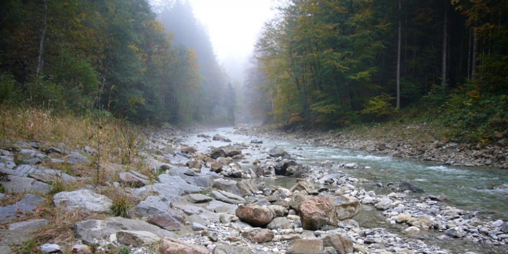
Nach dem Unternogg habe ich einen neuen Weg zur Wasserscheide gesucht.

Im Navi ist dieser als Fußweg eingezeichnet, in der Realität mußte ich aber ca. 500 m durch den Klammbach, teils bis zum Knie im Wasser laufen.

Bei 15° Außenthemperatur nicht lustig! 


ACHTUNG: Nach starkem Regen nicht zu empfehlen.


PS:

GPS Punkt Landsberg/Trauchgau ignorieren.

Real nur 33km

Mapa trasy i profil wysokości

  • Open Street Map
  • Google
Minimum height 556 m Maximum height 853 m Widok szczegółowy

More about the tour author

Dyroff
Member since 2007

Send private message

Komentarze

Trauchgau

GPS tracks

Trackpoints
  • GPX / Garmin Map Source (gpx) download
  • TCX / Garmin Training Center® (tcx) download
  • CRS / Garmin Training Center® (crs) download
  • Google Earth (kml) download
  • G7ToWin (g7t) download
  • TTQV (trk) download
  • Overlay (ovl) download
  • Fugawi (txt) download
  • Kompass (DAV) Track (tk) download
  • Karta trasy (pdf) download
  • Original file of the author (gpx) download

More about the tour author

Dyroff
Member since 2007

Send private message
Share track
Add to my favorites
Remove from my favorites
Edit tags
My score
Rate
Trasa: Rund um den Trauchberg mit naßen Füßen
Rodzaj: Rower górski (MTB)
Długość: 79,0 km
Evaluated on:
Czas trwania:
Day(s)
Hour(s)
Minute(s)
Ocena: Krajobraz Czynnik zadowolenia Kondycja Technika