
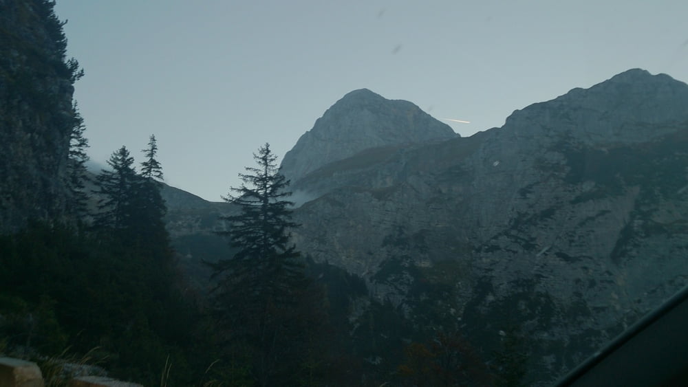

Normalweg auf den 2677m hohen Mangart. Der Weg führt über Schotterfelder und über Teils mit Stahlseilen versicherten Kletterpassagen.
Schneefelder sind fast zu jeder Jahreszeit zu sehen.
Der Ausgangspunkt der Tour wird über die kostenpflichtige Mautstraße erreicht. Die Mangart Straße ist einspurig befahrbar. Es gibt aber ausweichmöglichkeiten entlang der Straße, so das ein Ausweichen ungehindert möglich ist.
Bei Schönwetter wird man mit einem bezaubernden Bergpanorama beloht, welches sich bis zum Großglockner erstreckt.
Schwierigkeitsgrad: Mittel
Aufsteigend: 748 m
Absteigend: 637 m
Maximale Höhe: 2685 m
Galeria trasy


Mapa trasy i profil wysokości
Minimum height 1949 m
Maximum height 2685 m
More about the tour author
|
|
SanchoBenco |
Komentarze

Von Österreich kommend auf der A2 in Richtung Tarvis, Abfahrt Tarvis bis in Richtung Predil Pass, Über den Grenzübergang nach Slowenien und an der Kreuzung Mangart in dessen Richtung abbiegen.
Über die ca. 12 km lange, mautpflichtige Mangartstraße bis auf einen der Parkplatze auffahren.
GPS tracks
Trackpoints-
GPX / Garmin Map Source (gpx) download
-
TCX / Garmin Training Center® (tcx) download
-
CRS / Garmin Training Center® (crs) download
-
Google Earth (kml) download
-
G7ToWin (g7t) download
-
TTQV (trk) download
-
Overlay (ovl) download
-
Fugawi (txt) download
-
Kompass (DAV) Track (tk) download
-
Karta trasy (pdf) download
-
Original file of the author (gpx) download
More about the tour author
|
|
SanchoBenco |
Add to my favorites
Remove from my favorites
Edit tags
Open track
My score
Rate