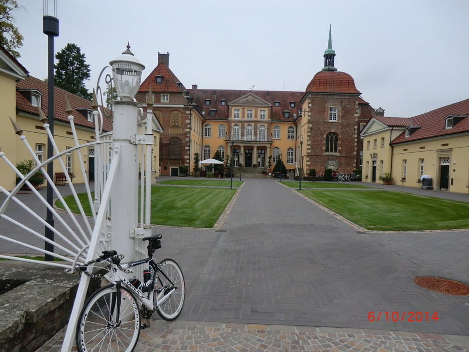
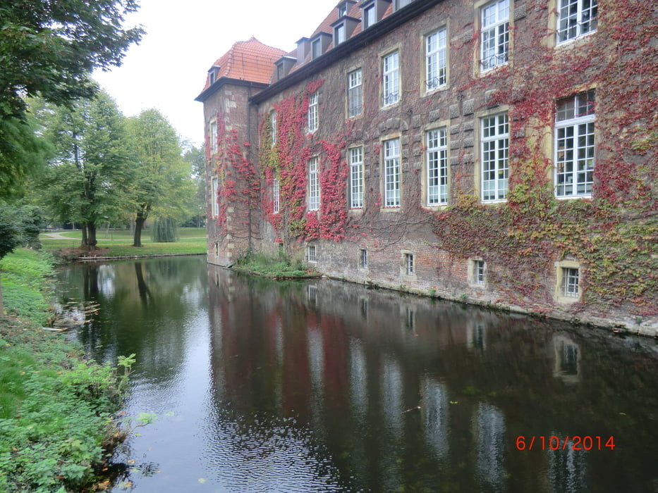
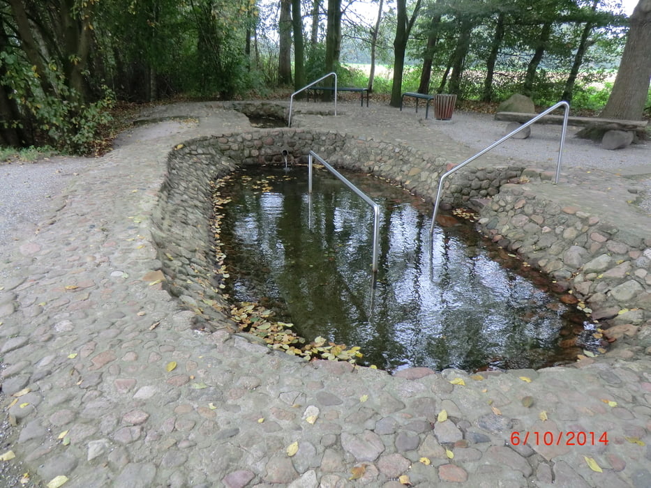
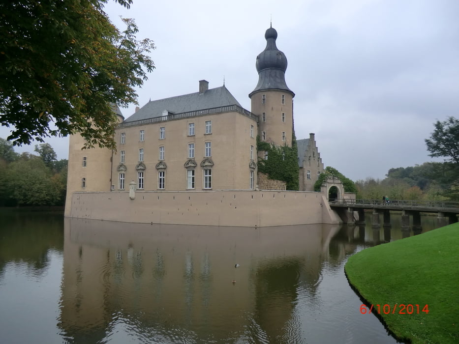
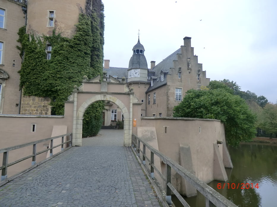
Login

Zapomniałeś swój login?

Cookies have to be accepted!
Your browser's cookie functionality is disabled. Please enable this functionality.

Not a member yet?

Register now
Login

Available for registred users only

Log in to use this feature.

Zapomniałeś swój login?

Cookies have to be accepted!
Your browser's cookie functionality is disabled. Please enable this functionality.

Not a member yet?

Register now
Filter
Kategorie
Advanced filters
  • Długość (km)
  • Wysokość
Zapisz filtr Reset filter

TrackRank

QRCode

Technical data

Długość101,4 km Wysokość363 m Way down357 m Czas trwania04:50 h:m Data07.10.2014
Oceny Author User Krajobraz Czynnik zadowolenia Kondycja Technika

Statystyka

208 Widoki 1 Ocena 6 Downloads / Pliki do pobrania 4.00 Przeciętnie
Rate
  • Karta trasy
  • Dojazd
  • Downloads / Pliki do pobrania

Galeria trasy

Mapa trasy i profil wysokości

  • Open Street Map
  • Google
Minimum height 28 m Maximum height 115 m Widok szczegółowy

More about the tour author

bikeman-c
Member since 2008

Send private message

Komentarze

Hallo-Andre on 25.05.2015

tolle Route !

Hallo, bikeman,

wir sind Deine Route am Pfingstsonntag nachgefahren.
Danke für diese tolle Route !
Die Landschaft war herrlich.
Die Route ist einfach toll zu fahren. Wir haben Sie genossen und sind voll auf unsere Kosten gekommen.
Gerade am Anfang der Bike- Saison zum Einfahren ideal.
Vielleicht fahre ich noch einige Routen von Dir nach.

Viele Grüße
André

GPS tracks

Trackpoints
  • GPX / Garmin Map Source (gpx) download
  • TCX / Garmin Training Center® (tcx) download
  • CRS / Garmin Training Center® (crs) download
  • Google Earth (kml) download
  • G7ToWin (g7t) download
  • TTQV (trk) download
  • Overlay (ovl) download
  • Fugawi (txt) download
  • Kompass (DAV) Track (tk) download
  • Karta trasy (pdf) download
  • Original file of the author (gpx) download

More about the tour author

bikeman-c
Member since 2008

Send private message
Share track
Add to my favorites
Remove from my favorites
Edit tags
My score
Rate
Trasa: Von Marl zum Schloß Velen und Gemen
Rodzaj: Rower szosowy
Długość: 101,4 km
Evaluated on:
Czas trwania:
Day(s)
Hour(s)
Minute(s)
Ocena: Krajobraz Czynnik zadowolenia Kondycja Technika