Login

Zapomniałeś swój login?

Cookies have to be accepted!
Your browser's cookie functionality is disabled. Please enable this functionality.

Not a member yet?

Register now
Login

Available for registred users only

Log in to use this feature.

Zapomniałeś swój login?

Cookies have to be accepted!
Your browser's cookie functionality is disabled. Please enable this functionality.

Not a member yet?

Register now
Filter
Kategorie
Advanced filters
  • Długość (km)
  • Wysokość
Zapisz filtr Reset filter

TrackRank

QRCode

Technical data

Długość32,6 km Wysokość626 m Way down662 m Czas trwania03:00 h:m Data09.10.2014
Oceny Author Krajobraz Czynnik zadowolenia Kondycja Technika

Statystyka

246 Widoki Oceny 22 Downloads / Pliki do pobrania Przeciętnie
Rate
  • Karta trasy
  • Dojazd
  • Downloads / Pliki do pobrania

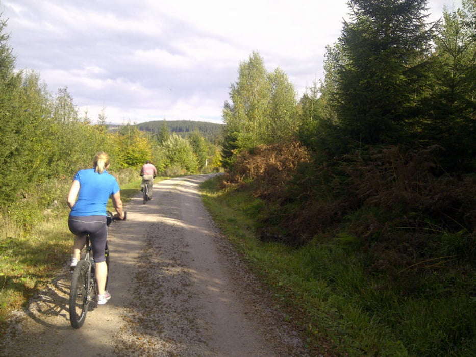
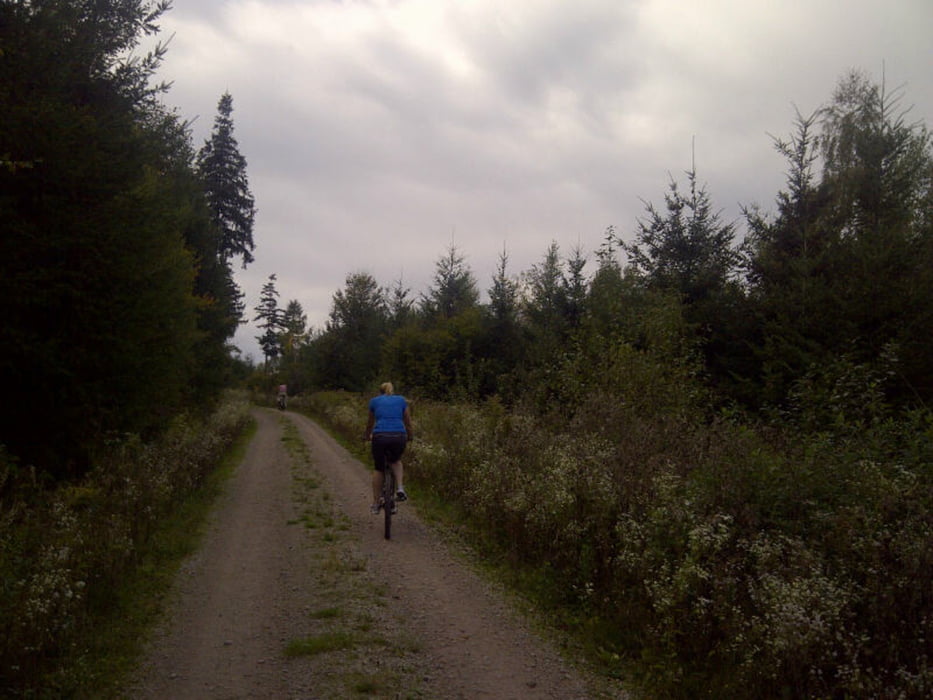
Eine sehr schöne Rundtour mit grandiosen Ausblicken auf die Rheinebene und nach Baden-Baden.

Gestartet in Lichtental fuhren wir zunächst über den Panoramaweg in Richtung Zimmerplatz. Dort angekommen in Richtung Schwanenwasen. Zwischen Völlerstein und Schwanenwasen schöne Aussichtspunkte. Wir überqueren die B500 und fahren in Richtung Bernsteinweg. Die Abfahrt über die Harderstraße. An der Steimersackerhütte biegen wir wieder in den Wald ein und fahren in Richtung Höllhäuserweg.

Eine sehr abwechslungsreiche Tour.
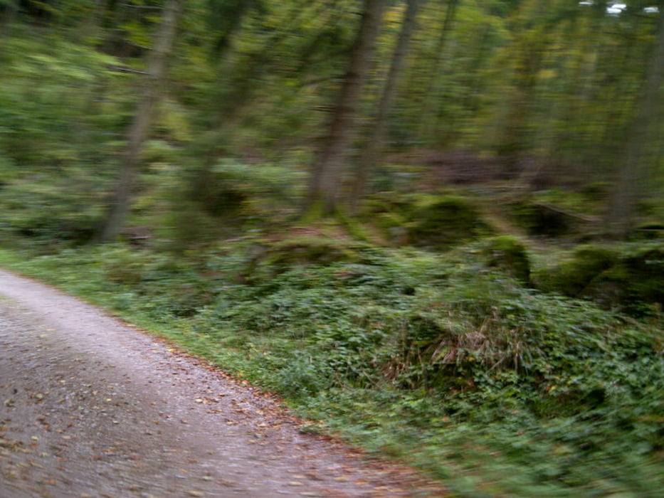
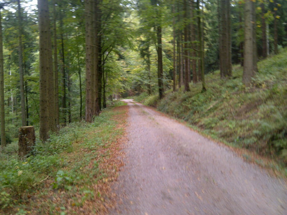
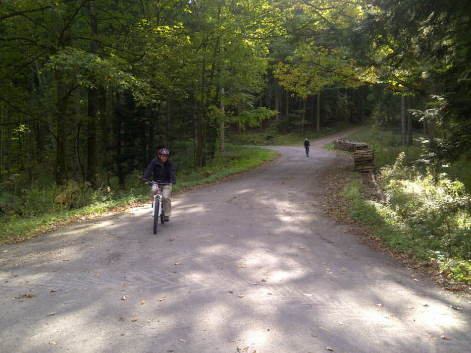
Galeria trasy

Mapa trasy i profil wysokości

  • Open Street Map
  • Google
Minimum height 197 m Maximum height 770 m Widok szczegółowy

More about the tour author

thheinz
Member since 2014

Send private message

Komentarze

GPS tracks

Trackpoints
  • GPX / Garmin Map Source (gpx) download
  • TCX / Garmin Training Center® (tcx) download
  • CRS / Garmin Training Center® (crs) download
  • Google Earth (kml) download
  • G7ToWin (g7t) download
  • TTQV (trk) download
  • Overlay (ovl) download
  • Fugawi (txt) download
  • Kompass (DAV) Track (tk) download
  • Karta trasy (pdf) download
  • Original file of the author (gpx) download

More about the tour author

thheinz
Member since 2014

Send private message
Share track
Add to my favorites
Remove from my favorites
Edit tags
My score
Rate
Trasa: Lichtental-Völlerstein-Mittelfeldhütte-Scherrhof-Lichtental
Rodzaj: Rower górski (MTB)
Długość: 32,6 km
Evaluated on:
Czas trwania:
Day(s)
Hour(s)
Minute(s)
Ocena: Krajobraz Czynnik zadowolenia Kondycja Technika