Login

Zapomniałeś swój login?

Cookies have to be accepted!
Your browser's cookie functionality is disabled. Please enable this functionality.

Not a member yet?

Register now
Login

Available for registred users only

Log in to use this feature.

Zapomniałeś swój login?

Cookies have to be accepted!
Your browser's cookie functionality is disabled. Please enable this functionality.

Not a member yet?

Register now
Filter
Kategorie
Advanced filters
  • Długość (km)
  • Wysokość
Zapisz filtr Reset filter

TrackRank

QRCode

Technical data

Długość38,5 km Wysokość796 m Way down801 m Czas trwania03:30 h:m Data09.10.2014
Oceny Author Krajobraz Czynnik zadowolenia Kondycja Technika

Statystyka

761 Widoki 1 Ocena 116 Downloads / Pliki do pobrania 4.00 Przeciętnie
Rate
  • Karta trasy
  • Dojazd
  • Downloads / Pliki do pobrania

startpunt Horstel vanuit daar naar Tecklenburg en weer terug naar Horstel, deel van de route gaat via de Hermansweg. Hermanweg kun je aanhouden als herkenningspunt om de weg terug te vinden.

Zou wel op tijd beginnen om wandelaars zoveel mogelijk te vermijden.
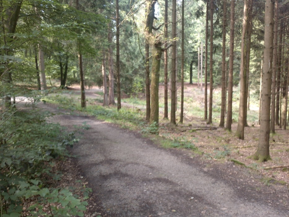
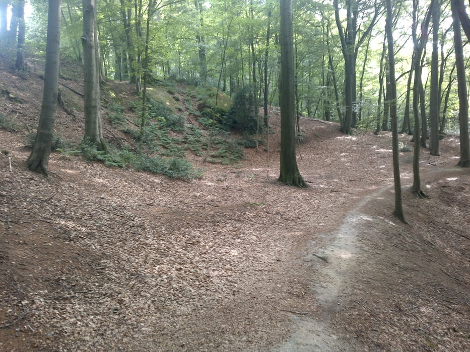
 

Galeria trasy

Mapa trasy i profil wysokości

  • Open Street Map
  • Google
Minimum height 59 m Maximum height 193 m Widok szczegółowy

More about the tour author

ietslater
Member since 2013

Send private message

Komentarze

Seele on 12.02.2015

Tour #136589

Bin die Tour gestern gefahren - super!!! Die Wege waren sehr aufgeweicht, es hat aber super Spaß gemacht!!!
telemaxx on 29.12.2015

Schöne Tour

lt Beschilderung eigentlich kein MTBler erwünscht. Aber wenn man langsam an den vielen Wanderern vorbeifährt geht's.
Schöne Aussicht und in der Nähe vom "hockenden Weib" eine nette Einkehrmöglichkeit in der Almhütte.

GPS tracks

Trackpoints
  • GPX / Garmin Map Source (gpx) download
  • TCX / Garmin Training Center® (tcx) download
  • CRS / Garmin Training Center® (crs) download
  • Google Earth (kml) download
  • G7ToWin (g7t) download
  • TTQV (trk) download
  • Overlay (ovl) download
  • Fugawi (txt) download
  • Kompass (DAV) Track (tk) download
  • Karta trasy (pdf) download
  • Original file of the author (gpx) download

More about the tour author

ietslater
Member since 2013

Send private message
Share track
Add to my favorites
Remove from my favorites
Edit tags
My score
Rate
Trasa: MTB Horstel-Tecklenburg-Horstel
Rodzaj: Rower górski (MTB)
Długość: 38,5 km
Evaluated on:
Czas trwania:
Day(s)
Hour(s)
Minute(s)
Ocena: Krajobraz Czynnik zadowolenia Kondycja Technika