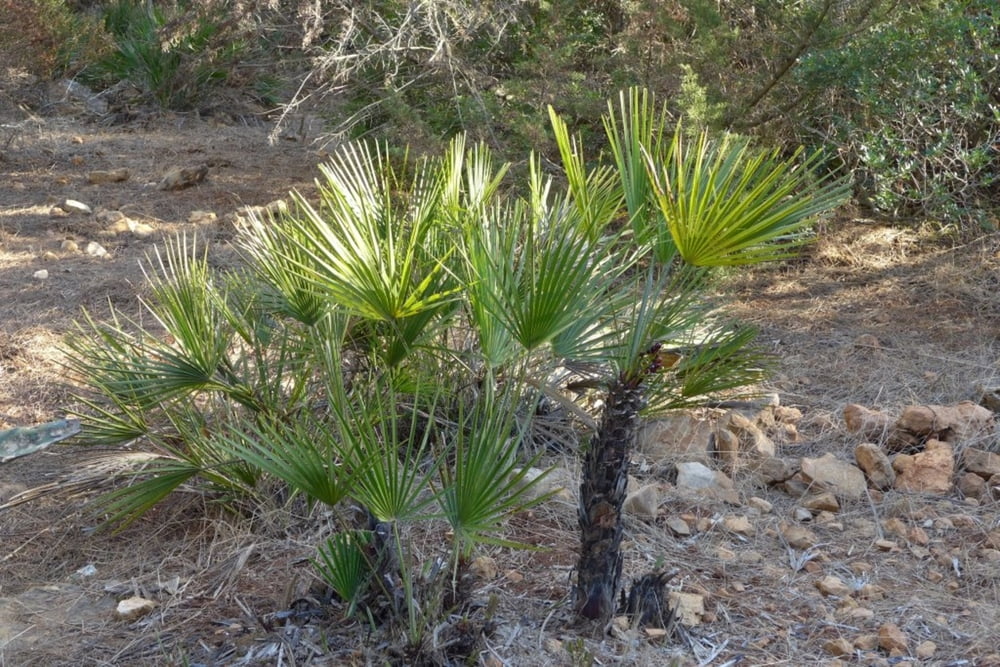
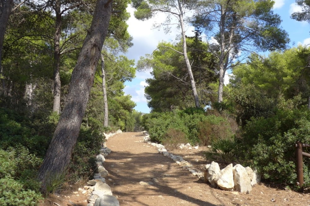
Einfache Wanderung auf angelegten Wegen durch den Parco di Porto Conte. Zunächst an der küste entlang zur Südspitze mit fantastischem Ausblick von den Klippen. Dann durch das Innere des Parks zurück.
Further information at
http://www.parcodiportoconte.it/sentieri-naturali.aspx?ver=itGaleria trasy
Mapa trasy i profil wysokości
Minimum height 3 m
Maximum height 94 m
Komentarze

Von Alghero über Fertilia Richtung Porto Conte. Großer Parkplatz am Eingang des Parks auf der linken Seite.
GPS tracks
Trackpoints-
GPX / Garmin Map Source (gpx) download
-
TCX / Garmin Training Center® (tcx) download
-
CRS / Garmin Training Center® (crs) download
-
Google Earth (kml) download
-
G7ToWin (g7t) download
-
TTQV (trk) download
-
Overlay (ovl) download
-
Fugawi (txt) download
-
Kompass (DAV) Track (tk) download
-
Karta trasy (pdf) download
-
Original file of the author (gpx) download
Add to my favorites
Remove from my favorites
Edit tags
Open track
My score
Rate


