Login

Zapomniałeś swój login?

Cookies have to be accepted!
Your browser's cookie functionality is disabled. Please enable this functionality.

Not a member yet?

Register now
Login

Available for registred users only

Log in to use this feature.

Zapomniałeś swój login?

Cookies have to be accepted!
Your browser's cookie functionality is disabled. Please enable this functionality.

Not a member yet?

Register now
Filter
Kategorie
Advanced filters
  • Długość (km)
  • Wysokość
Zapisz filtr Reset filter

TrackRank

QRCode

Technical data

Długość33,9 km Wysokość78 m Way down81 m Czas trwania01:30 h:m Data19.10.2014
Oceny Author Krajobraz Czynnik zadowolenia Kondycja Technika

Statystyka

281 Widoki Oceny 11 Downloads / Pliki do pobrania Przeciętnie
Rate
  • Karta trasy
  • Dojazd
  • Downloads / Pliki do pobrania
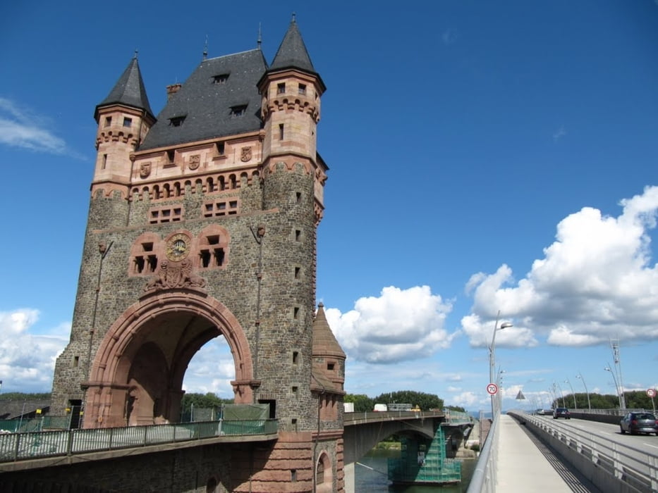
DIe Tour geht von Mannheim-Lindenhof über Ludwigshafen BASF am Rhein entlang bis nach Worms. Dort über die Brücke dann weiter den Radweg nach Biblis Nordheim.

Galeria trasy

Mapa trasy i profil wysokości

  • Open Street Map
  • Google
Minimum height 89 m Maximum height 108 m Widok szczegółowy

More about the tour author

DP3008
Member since 2010

Send private message

Komentarze

Gestartet bin ich in Mannheim in der Windeckstrasse bei JOhn Deere Tor 2

GPS tracks

Trackpoints
  • GPX / Garmin Map Source (gpx) download
  • TCX / Garmin Training Center® (tcx) download
  • CRS / Garmin Training Center® (crs) download
  • Google Earth (kml) download
  • G7ToWin (g7t) download
  • TTQV (trk) download
  • Overlay (ovl) download
  • Fugawi (txt) download
  • Kompass (DAV) Track (tk) download
  • Karta trasy (pdf) download
  • Original file of the author (gpx) download

More about the tour author

DP3008
Member since 2010

Send private message
Share track
Add to my favorites
Remove from my favorites
Edit tags
My score
Rate
Trasa: Mannheim nach Biblis-Nordheim
Rodzaj: Rower trekkingowy
Długość: 33,9 km
Evaluated on:
Czas trwania:
Day(s)
Hour(s)
Minute(s)
Ocena: Krajobraz Czynnik zadowolenia Kondycja Technika