


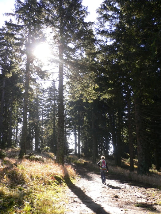
Wanderung im Böhmerwald!
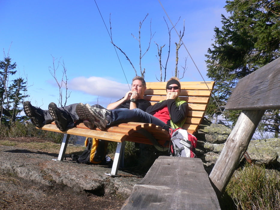
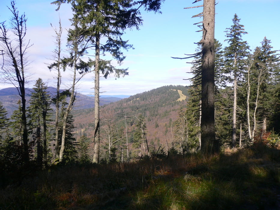
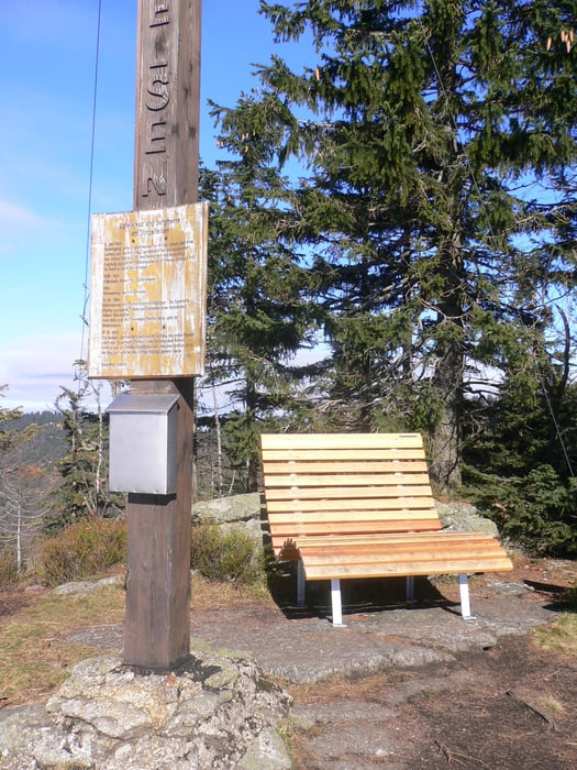
Start ist am Hochficht im Böhmerwald - unterhalb des "Gasthofes zum Überleben". Es geht erstmals bergauf auf der Krumauer-Schipiste - folgen dem Nordwaldkammweg bis zum Stingelfelsen. Verweilen ist Pflicht - es gibt dort Gipfelkreuz und eine sehr bequeme Liege in Holz gehalten. Danach besteigt man den Hochfichtgipfel auf der Piste Stierwiese. Dort geht's weiter auf dem Kammweg zum Hochwaldliftgipfel. Leichte Verkofferung im Wald - der Weg war da aber nicht ersichtlich. Abstieg über die Reischelbergabfahrt zum Ausgangspunkt
Galeria trasy
Mapa trasy i profil wysokości
Minimum height 935 m
Maximum height 1336 m
More about the tour author
|
|
Hoar |
Komentarze

Hochficht im Böhmerwald
GPS tracks
Trackpoints-
GPX / Garmin Map Source (gpx) download
-
TCX / Garmin Training Center® (tcx) download
-
CRS / Garmin Training Center® (crs) download
-
Google Earth (kml) download
-
G7ToWin (g7t) download
-
TTQV (trk) download
-
Overlay (ovl) download
-
Fugawi (txt) download
-
Kompass (DAV) Track (tk) download
-
Karta trasy (pdf) download
-
Original file of the author (gpx) download
More about the tour author
|
|
Hoar |
Add to my favorites
Remove from my favorites
Edit tags
Open track
My score
Rate