Login

Zapomniałeś swój login?

Cookies have to be accepted!
Your browser's cookie functionality is disabled. Please enable this functionality.

Not a member yet?

Register now
Login

Available for registred users only

Log in to use this feature.

Zapomniałeś swój login?

Cookies have to be accepted!
Your browser's cookie functionality is disabled. Please enable this functionality.

Not a member yet?

Register now
Filter
Kategorie
Advanced filters
  • Długość (km)
  • Wysokość
Zapisz filtr Reset filter

TrackRank

QRCode

Technical data

Długość12,0 km Wysokość298 m Way down301 m Czas trwania03:10 h:m Data02.11.2014
Oceny Author Krajobraz Czynnik zadowolenia Kondycja Technika

Statystyka

435 Widoki Oceny 27 Downloads / Pliki do pobrania Przeciętnie
Rate
  • Karta trasy
  • Dojazd
  • Downloads / Pliki do pobrania

Start/ Ziel ist ein Parkplatz an der Strasse "Gospinal" im Ort Solwaster (B-4845 Sart-Jalhay).

Nach ca. 1,5km durch den Wald erreichten wir den Bach "Sawe". Es geht über einen schönen Trail ca.4km immer entlag der Sawe bis hoch ins Venn. Nun folgen ca 2,5km durchs Venn und Wald, bis wir den Bach "Statte" erreichen. Der Statte folgen wir dann  über einen tollen Natur-Trail bis nach Solwaster.
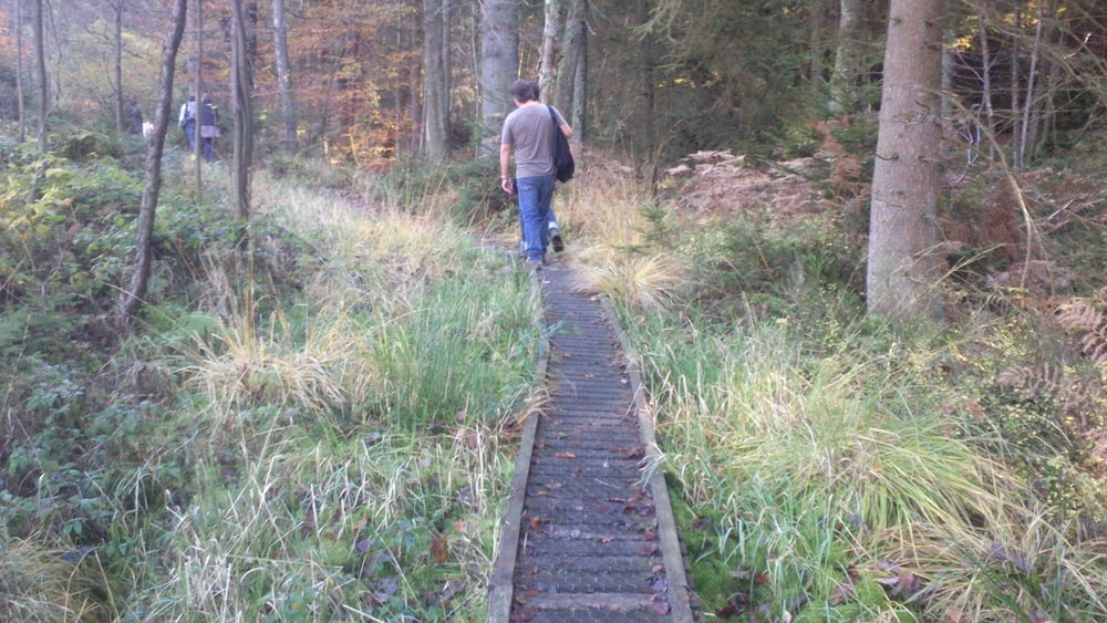
Galeria trasy

Mapa trasy i profil wysokości

  • Open Street Map
  • Google
Minimum height 344 m Maximum height 600 m Widok szczegółowy

More about the tour author

hilli_ac
Member since 2010

Send private message

Komentarze

GPS tracks

Trackpoints
  • GPX / Garmin Map Source (gpx) download
  • TCX / Garmin Training Center® (tcx) download
  • CRS / Garmin Training Center® (crs) download
  • Google Earth (kml) download
  • G7ToWin (g7t) download
  • TTQV (trk) download
  • Overlay (ovl) download
  • Fugawi (txt) download
  • Kompass (DAV) Track (tk) download
  • Karta trasy (pdf) download
  • Original file of the author (gpx) download

More about the tour author

hilli_ac
Member since 2010

Send private message
Share track
Add to my favorites
Remove from my favorites
Edit tags
My score
Rate
Trasa: Sawe & Statte Trails
Rodzaj: Wędrówki
Długość: 12,0 km
Evaluated on:
Czas trwania:
Day(s)
Hour(s)
Minute(s)
Ocena: Krajobraz Czynnik zadowolenia Kondycja Technika