
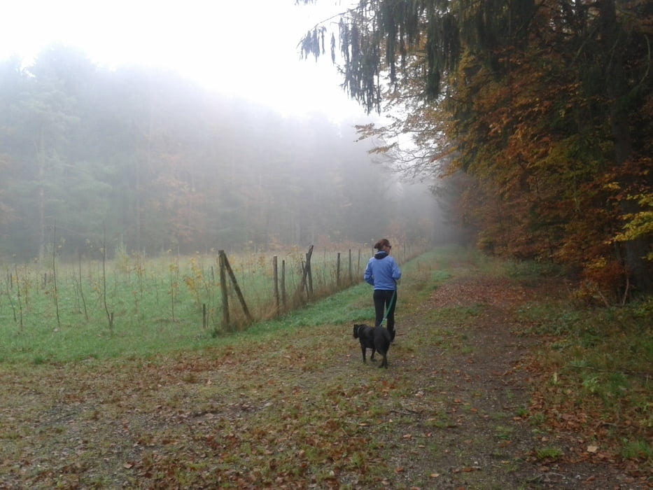

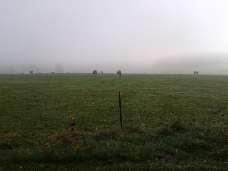
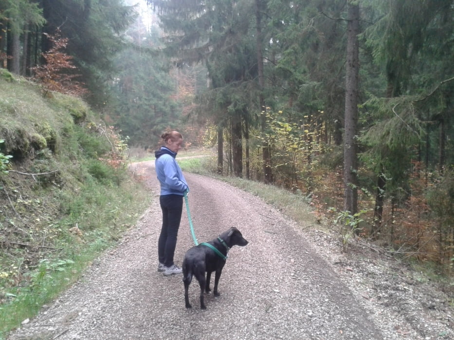
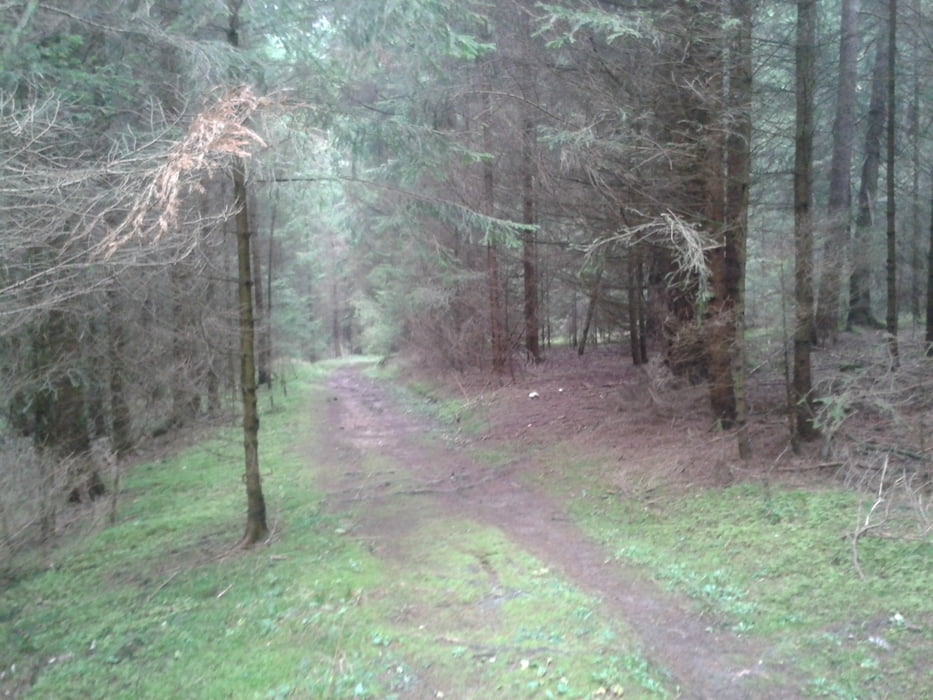
Gemütliche Wanderung ab Ödhaag auf meist (zu) gut ausgebauten Forststraßen.
Doch die Landschaft ist reizvoll und abwechselnd; z.T. sehr schöne Fernsichten.
Ich bin sie im Winter noch nicht gegangen, aber wenn nicht zu viel Schnee liegt sollte sie in jeder Jahrszeit begehbar sein.
Einige wenige kurze Anstiege - dafür der 2.Stern bei Kondition.
Empfehlenswert ist die Einkehr in der Waldeslust;
Typische Oberpfälzer Küche mit moderaten Preisen.
Wichtig:
Wer Schäuferle oder Spanferkel möchte, besser vorher zurücklegen lassen / reservieren.
Parken kann man am Wendehammer in Ödhaag. Dort ist auch Startpunkt der Rundtour, etwa 50m vom Gasthaus entfernt.
Galeria trasy

Mapa trasy i profil wysokości
Minimum height 431 m
Maximum height 571 m
More about the tour author

|
markus2014 |
Komentarze

GPS tracks
Trackpoints-
GPX / Garmin Map Source (gpx) download
-
TCX / Garmin Training Center® (tcx) download
-
CRS / Garmin Training Center® (crs) download
-
Google Earth (kml) download
-
G7ToWin (g7t) download
-
TTQV (trk) download
-
Overlay (ovl) download
-
Fugawi (txt) download
-
Kompass (DAV) Track (tk) download
-
Karta trasy (pdf) download
-
Original file of the author (gpx) download
More about the tour author
|
|
markus2014 |
Add to my favorites
Remove from my favorites
Edit tags
Open track
My score
Rate