

Tolles Wetter am 02.11. und fast sommerliche Temperaturen treiben uns wieder raus ins Gelände!
Von Baden-Baden/Weststadt über den Panoramaweg in Richtung Wolfschlucht. Kurze Rast und Blick von der Teufelskanzel nach Baden-Baden.
Weiter geht es in Richtung Binsenwasen, kleiner Staufenberg in Richtung Nachtigall. Über den Lindelweg ca. 400 Meter weiter bergauf, sodann rechts in Richtung Gaisbach.
Am Waldparkplatz weiter bergab in Richtung Forellenhof, hinter welchem wir dann links steil bergauf dem Panoramaweg in Richtung Bussacker wieder folgen. Steigung einmal kurz 27,4%!
An der Bussackerhütte fahren wir vorbei, den Hohlweg in Richtung Übelsbach. Hier lassen wir es schön ausrollen in Richtung Lichtental, Stadtmitte und Weststadt.
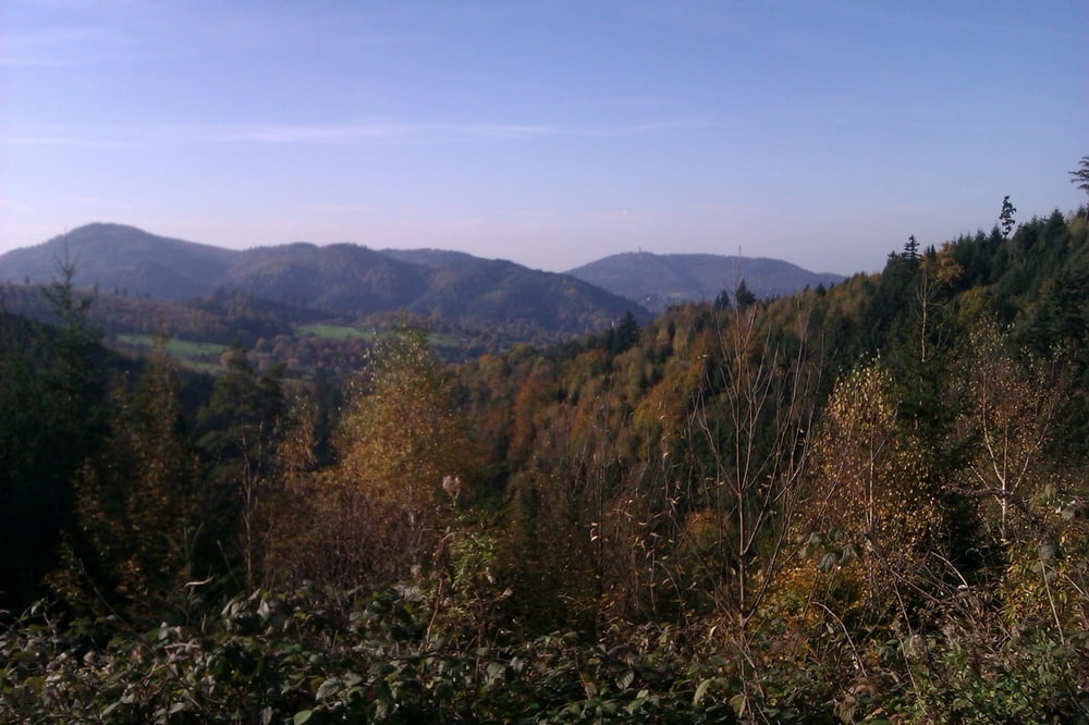
Schöne, gemütliche Runde mit tollen Aussichten.
Galeria trasy


Mapa trasy i profil wysokości
Minimum height 117 m
Maximum height 520 m
More about the tour author

|
thheinz |
Komentarze

GPS tracks
Trackpoints-
GPX / Garmin Map Source (gpx) download
-
TCX / Garmin Training Center® (tcx) download
-
CRS / Garmin Training Center® (crs) download
-
Google Earth (kml) download
-
G7ToWin (g7t) download
-
TTQV (trk) download
-
Overlay (ovl) download
-
Fugawi (txt) download
-
Kompass (DAV) Track (tk) download
-
Karta trasy (pdf) download
-
Original file of the author (gpx) download
More about the tour author
|
|
thheinz |
Add to my favorites
Remove from my favorites
Edit tags
Open track
My score
Rate