Login

Zapomniałeś swój login?

Cookies have to be accepted!
Your browser's cookie functionality is disabled. Please enable this functionality.

Not a member yet?

Register now
Login

Available for registred users only

Log in to use this feature.

Zapomniałeś swój login?

Cookies have to be accepted!
Your browser's cookie functionality is disabled. Please enable this functionality.

Not a member yet?

Register now
Filter
Kategorie
Advanced filters
  • Długość (km)
  • Wysokość
Zapisz filtr Reset filter

TrackRank

QRCode

Technical data

Długość47,0 km Wysokość790 m Way down754 m Czas trwania03:15 h:m Data03.11.2014
Oceny Author Krajobraz Czynnik zadowolenia Kondycja Technika

Statystyka

304 Widoki Oceny 27 Downloads / Pliki do pobrania Przeciętnie
Rate
  • Karta trasy
  • Dojazd
  • Downloads / Pliki do pobrania
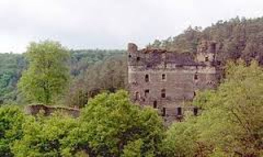
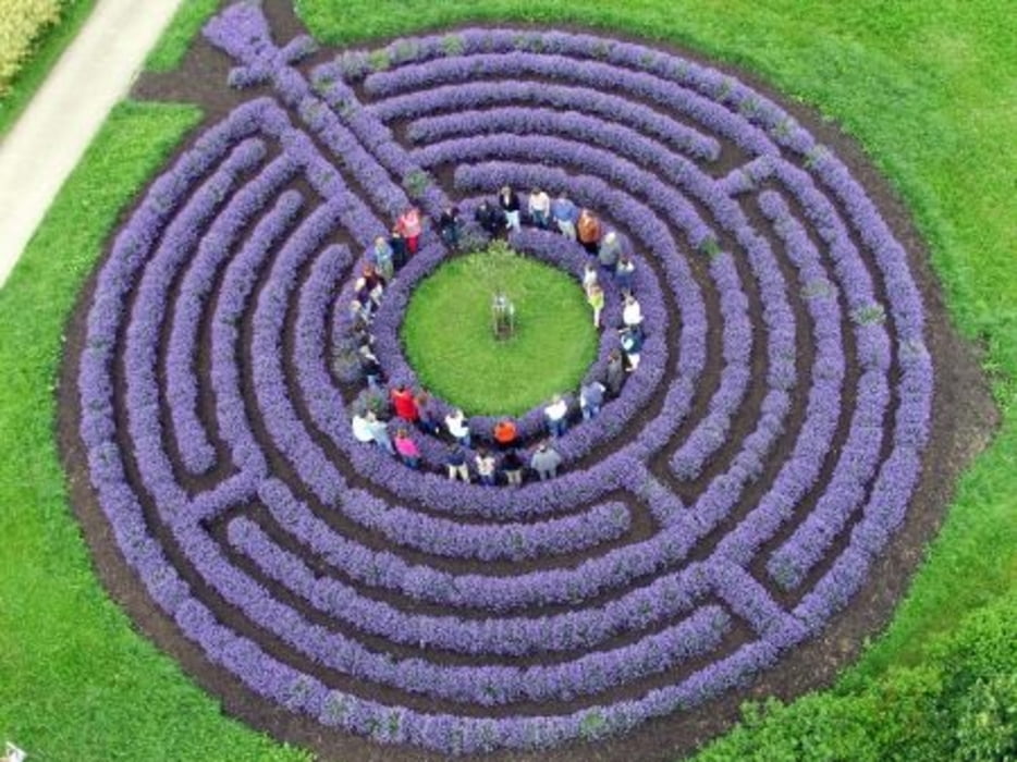
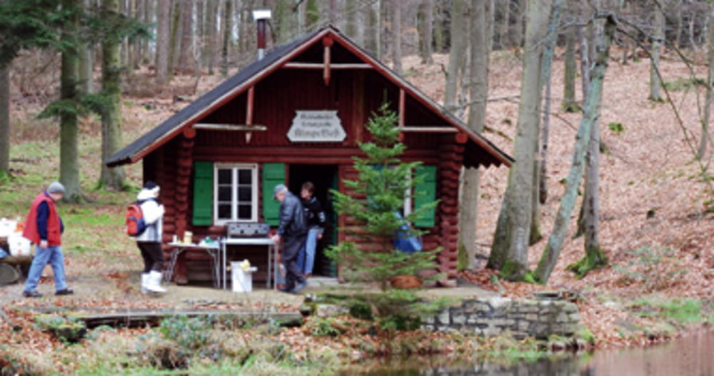
Anspruchsvolle MTB Tour - Kennzeichnung H9 -  keine weiße Socken-Tour - stellenweise schlammige Abschnitte, auch bei trockenem Wetter- Bachdurchfahrt ~ alternativ Steg- Besichtigungen: Ruine Balduinseck, Maria Ruh, Lavendellabyrint, Burgruine Kastellaun, Klingelfloß.

Galeria trasy

Mapa trasy i profil wysokości

  • Open Street Map
  • Google
Minimum height 254 m Maximum height 495 m Widok szczegółowy

More about the tour author

19herold56
Member since 2012

Send private message

Komentarze

Idealer Startpunkt ist Kastellaun, Parkplatz Alter Bahnhof - direkt am Radweg.

Einkehrmöglichkeit direkt am Parkplatz.


GPS tracks

Trackpoints
  • GPX / Garmin Map Source (gpx) download
  • TCX / Garmin Training Center® (tcx) download
  • CRS / Garmin Training Center® (crs) download
  • Google Earth (kml) download
  • G7ToWin (g7t) download
  • TTQV (trk) download
  • Overlay (ovl) download
  • Fugawi (txt) download
  • Kompass (DAV) Track (tk) download
  • Karta trasy (pdf) download
  • Original file of the author (gpx) download

More about the tour author

19herold56
Member since 2012

Send private message
Share track
Add to my favorites
Remove from my favorites
Edit tags
My score
Rate
Trasa: Aktiv-Tour
Rodzaj: Rower górski (MTB)
Długość: 47,0 km
Evaluated on:
Czas trwania:
Day(s)
Hour(s)
Minute(s)
Ocena: Krajobraz Czynnik zadowolenia Kondycja Technika