


Gestartet wird am Wender Hammer der Alfred-Mozer-Str.
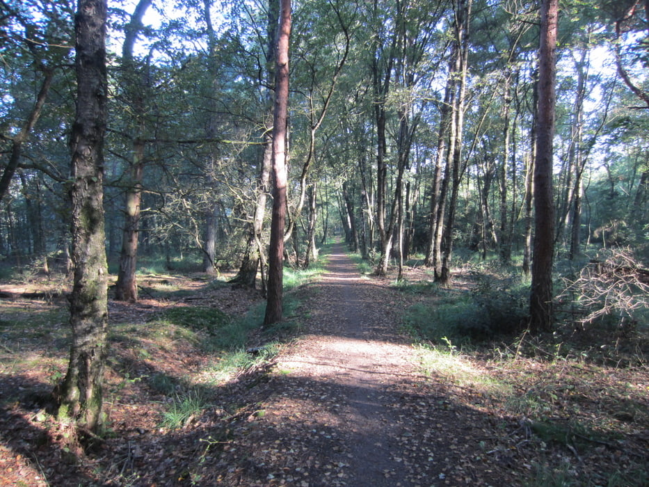
Von dort aus geht es gleich durch den Wald und angrentzenden Felder. Auf einen Ackerweg geht es Richtung Holland und dem sich dort Befindlichen Naturschutz Gebietes.
Dieses wird durch gequert und einen Grenzpfad richtung Norden bis zum Enden des Waldes und dort nach Osten. Am Rand des Waldes weiter folgen und gen Süden die Rückreise. Am Rande der Felder gibt es eine Überdachte Bank zum rasten. Quer durch Felder bis zu Südlichen ende des Waldgebietes welches durchquert wird und wieder auf den Grenzpfad zu kommen. Auf gleicher strecke wie gekommen geht es wieder zurück wahlweise mit oder ohne Naturschutz gebiet
Galeria trasy

Mapa trasy i profil wysokości
Minimum height 48 m
Maximum height 71 m
More about the tour author

|
Diggs |
Komentarze

GPS tracks
Trackpoints-
GPX / Garmin Map Source (gpx) download
-
TCX / Garmin Training Center® (tcx) download
-
CRS / Garmin Training Center® (crs) download
-
Google Earth (kml) download
-
G7ToWin (g7t) download
-
TTQV (trk) download
-
Overlay (ovl) download
-
Fugawi (txt) download
-
Kompass (DAV) Track (tk) download
-
Karta trasy (pdf) download
-
Original file of the author (gpx) download
More about the tour author
|
|
Diggs |
Add to my favorites
Remove from my favorites
Edit tags
Open track
My score
Rate