

Een prachtige rit over en rondom de Sint-Pietersberg in Maastricht. Je kan de auto parkeren bij Fort Sint Pieter in Maastricht. Vanaf hier begint het relatief rustig, een paar korte klimmetjes maar wel door een super mooi landschap. Na een kilometer of vijf begint de klim richting d'n Oberservant, hier pak je 120 hoogtemeters in 1 klim. Daarna volgt een relatief lange afdaling van de Sint-Pietersberg waarna we langzaam afzakken richting Belgie waar we wederom door een erg mooi landschap rijden. Ook hier zal er geklommen moeten worden, een goede conditie is daarom wel een must! Bij droog weer zal de ondergrond in Belgie goed te doen zijn, maar zodra het regenachtig weer is zal de klei/leem grond een hardnekkig obstakel worden.
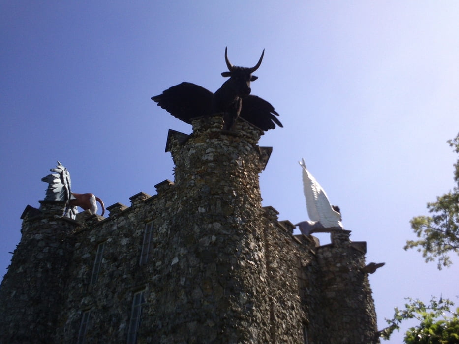
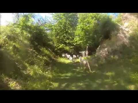
Galeria trasy


Mapa trasy i profil wysokości
Minimum height 54 m
Maximum height 174 m
More about the tour author

|
ATBRides |
Komentarze

Startlocatie: For sint pieter Maastricht.
GPS tracks
Trackpoints-
GPX / Garmin Map Source (gpx) download
-
TCX / Garmin Training Center® (tcx) download
-
CRS / Garmin Training Center® (crs) download
-
Google Earth (kml) download
-
G7ToWin (g7t) download
-
TTQV (trk) download
-
Overlay (ovl) download
-
Fugawi (txt) download
-
Kompass (DAV) Track (tk) download
-
Karta trasy (pdf) download
-
Original file of the author (gpx) download
More about the tour author
|
|
ATBRides |
Add to my favorites
Remove from my favorites
Edit tags
Open track
My score
Rate