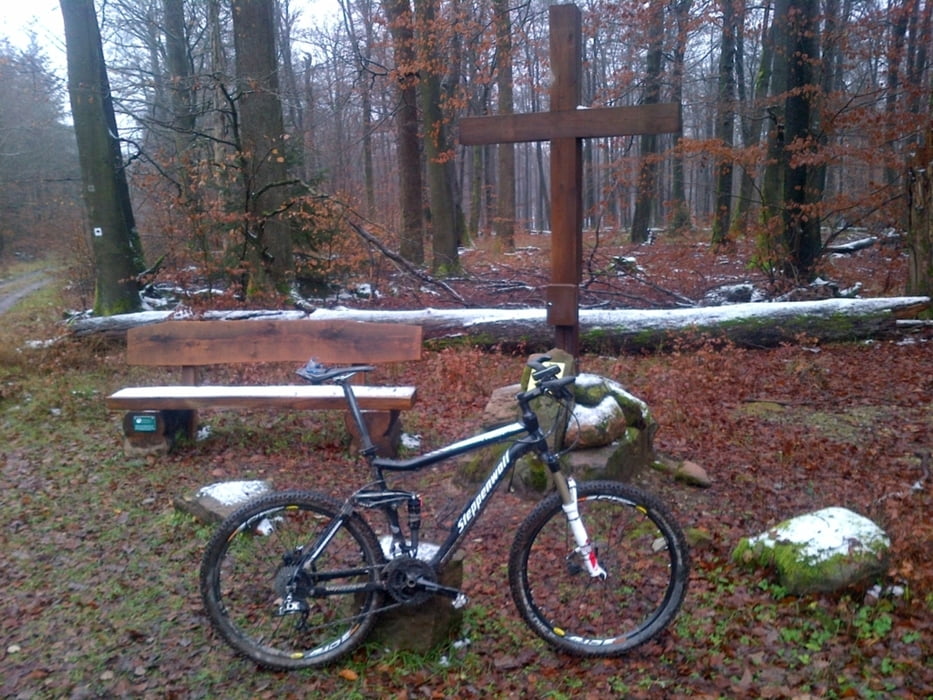
Auf Waldwegen und Pfaden aufwärts durchs Hafenlohrtal auf den Geiersberg. Dann hinunter ins Heinrichstal. Der per Wegpunkten markierte Trail hat S3 Niveau (so auch in OSM; siehe auch www.singletrail-skala.de), hier im Zweifelsfall besser vorher absteigen. ansonsten technisch unschwierige Tour. Einkehrmöglichkeit im Forsthaus Sylvan.
Fotos ohne Schnee am Gipfel gibts dann vielleicht im Sommer ;-).
Further information at
http://www.forsthaus-sylvan.com/Galeria trasy
Mapa trasy i profil wysokości
Minimum height 126 m
Maximum height 590 m
Komentarze

Von Hafenlohr Richtung Windheim auf der Hafenlohrtalstraße. Nach der Brüccke über die Hafenlohr hinter Windheim Parkplatz auf der linken Seite.
GPS tracks
Trackpoints-
GPX / Garmin Map Source (gpx) download
-
TCX / Garmin Training Center® (tcx) download
-
CRS / Garmin Training Center® (crs) download
-
Google Earth (kml) download
-
G7ToWin (g7t) download
-
TTQV (trk) download
-
Overlay (ovl) download
-
Fugawi (txt) download
-
Kompass (DAV) Track (tk) download
-
Karta trasy (pdf) download
-
Original file of the author (gpx) download
Add to my favorites
Remove from my favorites
Edit tags
Open track
My score
Rate


