Login

Zapomniałeś swój login?

Cookies have to be accepted!
Your browser's cookie functionality is disabled. Please enable this functionality.

Not a member yet?

Register now
Login

Available for registred users only

Log in to use this feature.

Zapomniałeś swój login?

Cookies have to be accepted!
Your browser's cookie functionality is disabled. Please enable this functionality.

Not a member yet?

Register now
Filter
Kategorie
Advanced filters
  • Długość (km)
  • Wysokość
Zapisz filtr Reset filter

TrackRank

QRCode

Technical data

Długość17,3 km Wysokość1425 m Way down1445 m Czas trwania05:15 h:m Data16.12.2014
Oceny Author Krajobraz Czynnik zadowolenia Kondycja Technika

Statystyka

265 Widoki Oceny 10 Downloads / Pliki do pobrania Przeciętnie
Rate
  • Karta trasy
  • Dojazd
  • Downloads / Pliki do pobrania

Ausgangspunkt:

Liftparkplatz Kramsach.

Route:

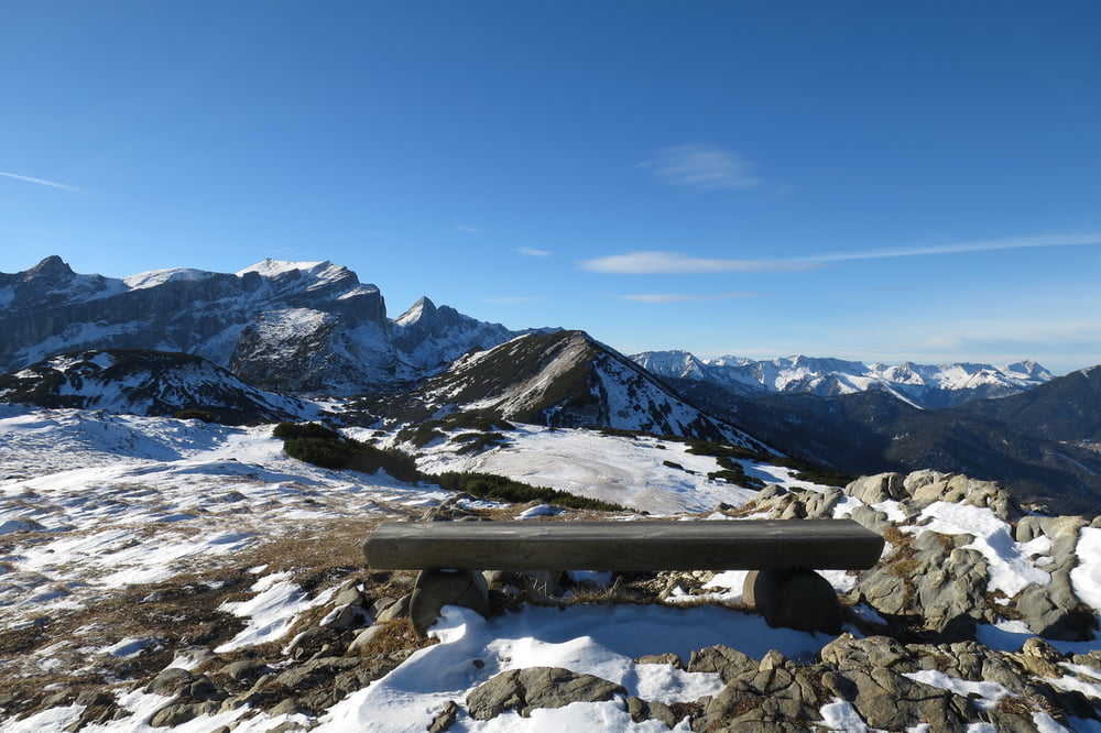
Parkplatz-Mittelstation Sonnwendjochbahn-Hochalm-Kreuzeinalm Hochleger-Roßkopf-Mittelstation-Parkplatz.

Wege:

Forststraßen, Wiesenpfad, Bergsteige.

Schwierigkeit:

Technisch leichte Bergtour (Gehgelände).

Die Zeitangabe von 5 Stunden 15 Minuten bezieht sich auf die reine Gehzeit.

Galeria trasy

Mapa trasy i profil wysokości

  • Open Street Map
  • Google
Minimum height 546 m Maximum height 1936 m Widok szczegółowy

More about the tour author

wolli2009
Member since 2014

Send private message

Komentarze

Inntalautobahn Ausfahrt Kramsach Richtung Brandenberg.

Der Parkplatz befindet sich am Ortsausgang Kramsach auf der linken Seite.


GPS tracks

Trackpoints
  • GPX / Garmin Map Source (gpx) download
  • TCX / Garmin Training Center® (tcx) download
  • CRS / Garmin Training Center® (crs) download
  • Google Earth (kml) download
  • G7ToWin (g7t) download
  • TTQV (trk) download
  • Overlay (ovl) download
  • Fugawi (txt) download
  • Kompass (DAV) Track (tk) download
  • Karta trasy (pdf) download
  • Original file of the author (gpx) download

More about the tour author

wolli2009
Member since 2014

Send private message
Share track
Add to my favorites
Remove from my favorites
Edit tags
My score
Rate
Trasa: Roßkogel "Notfallrunde" (Skitour war geplant)
Rodzaj: Trasy górskie
Długość: 17,3 km
Evaluated on:
Czas trwania:
Day(s)
Hour(s)
Minute(s)
Ocena: Krajobraz Czynnik zadowolenia Kondycja Technika