


Start Cala Ratjada bei Ronny´s Bike Verleih, Ende am Hotel im Nachbarort Cala Mesquida, alle recht verkehrsarme Straßen.
Die Ostküste kann erst bei Port Nou durchgängig befahren werden, langsam durch Cala Millor, vor Porto Cristo in Landesinnere.
Durch Son Servera nach Arta, ein sehr sehenswürdiges kleines Städtchen, bei Marktplatz gibt´s ein schattiges Plätzchen am Café. Café con leche und Gato allmend (Mandelkuchen) sind ein Muss!
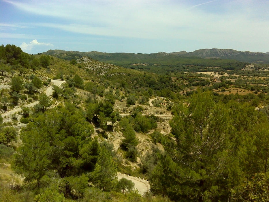
Die einsame Straße nach Ermita de Betlem ab Arta ist traumhaft zu fahren, Steigungen stets im 1-stelligen Bereich, die Ausblicke grandios. Hier geht nur derselbe Weg zurück. Die Sackgasse lohnt sich!
Über Capdepera zu Hotel zurück.
Further information at
http://www.ronnys-zweiradvermietung.com/Galeria trasy


Mapa trasy i profil wysokości
Minimum height 5 m
Maximum height 380 m
More about the tour author
|
|
masterheizer |
Komentarze

Flieger nach Palma, Bus zum Hotel, zu Fuß zum Bikeverleih!
GPS tracks
Trackpoints-
GPX / Garmin Map Source (gpx) download
-
TCX / Garmin Training Center® (tcx) download
-
CRS / Garmin Training Center® (crs) download
-
Google Earth (kml) download
-
G7ToWin (g7t) download
-
TTQV (trk) download
-
Overlay (ovl) download
-
Fugawi (txt) download
-
Kompass (DAV) Track (tk) download
-
Karta trasy (pdf) download
-
Original file of the author (gpx) download
More about the tour author
|
|
masterheizer |
Add to my favorites
Remove from my favorites
Edit tags
Open track
My score
Rate