

start am meer bei hotel leman.
die route ist für max. 4 fahrer geeignet. die straßen sind teilweise sehr eng und der zustand lässt es nicht zu in hohen tempo durch die straßen zu rasen.
zuerst führt die route auf dem radweg nach und südlich vorbei an llucmajor. knapp nach llucmajor scharf nach links abbiegen richtung der hauptstraße nach campos (bei km 17 ist der asphalt der staße auf ca. 200m sehr schlecht. bei der straße nach campos angelangt bogen wir rechts ab, nach 300m links abgebogen und richtung straße nach porreres gefahren.
bei der straße nach porreres angelangt fuhren wir rechts nach und durch porreres, weiter südlich an villafranca vorbei, knapp nach nach villafranca wechselten wir die straßenseite und fuhren auf der linken seite der schnellstraße und kamen kreuzungsfrei auf die straße die uns nach petra führte.
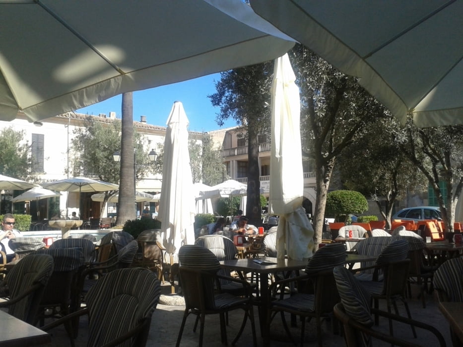
in petra angekommen machten wir eine pause am hauptplatz (placa de ramon).
danach fuhren wir fast nach sineu, ca. 700m vor sineu bogen wir links in eine kleine straße, die straßen die uns nördlich an montuiri und nach algaida führten waren maximal 2 m breit.
von algaida fuhren wir auf dem radweg nach llucmajor, ca. 1km vor llucmajor bogen wir in einer rechtkurve scharf rechts in eine straße ein. diese straße führte uns auf die verbindungsstraße von llucmajor nach el arenal ca. 1 km vor der gocart-bahn.
nach ca. 4 stunden und 87 km erreichten wir unser ziel wieder bei hotel leman.
Further information at
http://de.wikipedia.org/wiki/Petra_%28Mallorca%29Galeria trasy


Mapa trasy i profil wysokości
Minimum height
Maximum height 228 m
More about the tour author
|
|
der_Bergverfuehrer |
Komentarze

GPS tracks
Trackpoints-
GPX / Garmin Map Source (gpx) download
-
TCX / Garmin Training Center® (tcx) download
-
CRS / Garmin Training Center® (crs) download
-
Google Earth (kml) download
-
G7ToWin (g7t) download
-
TTQV (trk) download
-
Overlay (ovl) download
-
Fugawi (txt) download
-
Kompass (DAV) Track (tk) download
-
Karta trasy (pdf) download
-
Original file of the author (gpx) download
More about the tour author
|
|
der_Bergverfuehrer |
Add to my favorites
Remove from my favorites
Edit tags
Open track
My score
Rate