


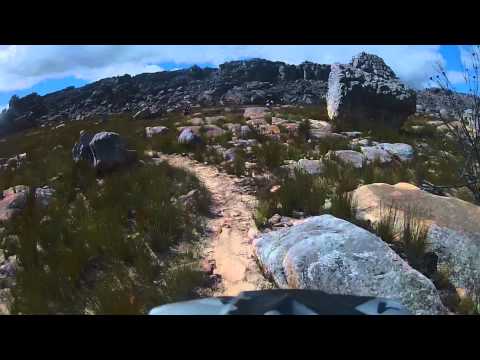
Landschaftlich traumhafte gepflegte Trails inmitten der Cedarberge. Permitpflichtig.
Further information at
http://www.houdenbek.co.zaGaleria trasy


Mapa trasy i profil wysokości
Minimum height 956 m
Maximum height 1167 m
More about the tour author
|
|
mikean99 |
Komentarze

Von Kaostadt auf dem Highway Nr.1 Rcihtung Paarl, Bei Klapmuts Abzweig auf die R 44 in Richtung Wellington. In Wellington Abzweig auf die R 301 und übr den Bain's Kloof Pass bis zur R43 und auf der R43 bis nach Ceres. Dort Abzweig auf die R303. Bei Die Dorp Op Die Berg auf eine von Osten kommende Straße in Richtung Osten abbiegen und dieser Straße bis zu den Houdenbek Farm Cottages folgen.
GPS tracks
Trackpoints-
GPX / Garmin Map Source (gpx) download
-
TCX / Garmin Training Center® (tcx) download
-
CRS / Garmin Training Center® (crs) download
-
Google Earth (kml) download
-
G7ToWin (g7t) download
-
TTQV (trk) download
-
Overlay (ovl) download
-
Fugawi (txt) download
-
Kompass (DAV) Track (tk) download
-
Karta trasy (pdf) download
-
Original file of the author (gpx) download
More about the tour author
|
|
mikean99 |
Add to my favorites
Remove from my favorites
Edit tags
Open track
My score
Rate