
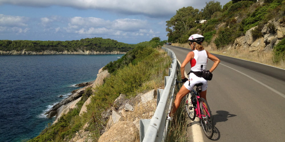

Questo è un nuovo giro in bici da corsa all'isola d'elba in quanto il tratto tra bagnaia e nisporto era sterrato ed è stato asfaltato nella fine dell'autunno 2014 e quindi reso percorribile in bici da strada.Come vedete l'itinerario parte dal residence le picchiaie, ripida e dissestata discesa, poi saliscendi per bagnaia e nisporto. Poi impegnativa salita per il passo tra rio elba e nisporto. Discesa per rio nell'elba, passaggio in centro (fontana e bar in piazza) e poi rientro per porto azzurro con terribile strappo finale per rientrare al residence. Traffico zero tranne il tratto tra portoazzurro e l'inizio della salita per il residence. Giro breve ma da non sottovalutare per alcune salite impegnative.
Galeria trasy


Mapa trasy i profil wysokości
Minimum height
Maximum height 310 m
More about the tour author

|
mikyross |
Komentarze

italia toscana livorno isola d'elba portoferraio residence le picchiaie
GPS tracks
Trackpoints-
GPX / Garmin Map Source (gpx) download
-
TCX / Garmin Training Center® (tcx) download
-
CRS / Garmin Training Center® (crs) download
-
Google Earth (kml) download
-
G7ToWin (g7t) download
-
TTQV (trk) download
-
Overlay (ovl) download
-
Fugawi (txt) download
-
Kompass (DAV) Track (tk) download
-
Karta trasy (pdf) download
-
Original file of the author (gpx) download
More about the tour author
|
|
mikyross |
Add to my favorites
Remove from my favorites
Edit tags
Open track
My score
Rate