Login

Zapomniałeś swój login?

Cookies have to be accepted!
Your browser's cookie functionality is disabled. Please enable this functionality.

Not a member yet?

Register now
Login

Available for registred users only

Log in to use this feature.

Zapomniałeś swój login?

Cookies have to be accepted!
Your browser's cookie functionality is disabled. Please enable this functionality.

Not a member yet?

Register now
Filter
Kategorie
Advanced filters
  • Długość (km)
  • Wysokość
Zapisz filtr Reset filter

TrackRank

QRCode

Technical data

Długość26,9 km Wysokość572 m Way down559 m Czas trwania00:00 h:m Data03.01.2015
Oceny Author Krajobraz Czynnik zadowolenia Kondycja Technika

Statystyka

178 Widoki Oceny 16 Downloads / Pliki do pobrania Przeciętnie
Rate
  • Karta trasy
  • Dojazd
  • Downloads / Pliki do pobrania

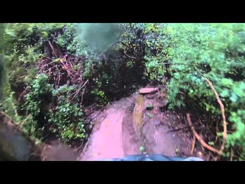
Einfach bis mittelschwere MTB Tour unterhalb des Bain's Kloof Passes.


Further information at

http://welvanpas.co.za/index.php/leisure-activities/mountain-biking

Galeria trasy

Mapa trasy i profil wysokości

  • Open Street Map
  • Google
Minimum height 213 m Maximum height 386 m Widok szczegółowy

More about the tour author

mikean99
Member since 2009

Send private message

Komentarze

Von Kapstadt über Paarl nach Wellington. Weiter siehe Link unten

GPS tracks

Trackpoints
  • GPX / Garmin Map Source (gpx) download
  • TCX / Garmin Training Center® (tcx) download
  • CRS / Garmin Training Center® (crs) download
  • Google Earth (kml) download
  • G7ToWin (g7t) download
  • TTQV (trk) download
  • Overlay (ovl) download
  • Fugawi (txt) download
  • Kompass (DAV) Track (tk) download
  • Karta trasy (pdf) download
  • Original file of the author (gpx) download

More about the tour author

mikean99
Member since 2009

Send private message
Share track
Add to my favorites
Remove from my favorites
Edit tags
My score
Rate
Trasa: Wellington Trails
Rodzaj: Rower górski (MTB)
Długość: 26,9 km
Evaluated on:
Czas trwania:
Day(s)
Hour(s)
Minute(s)
Ocena: Krajobraz Czynnik zadowolenia Kondycja Technika