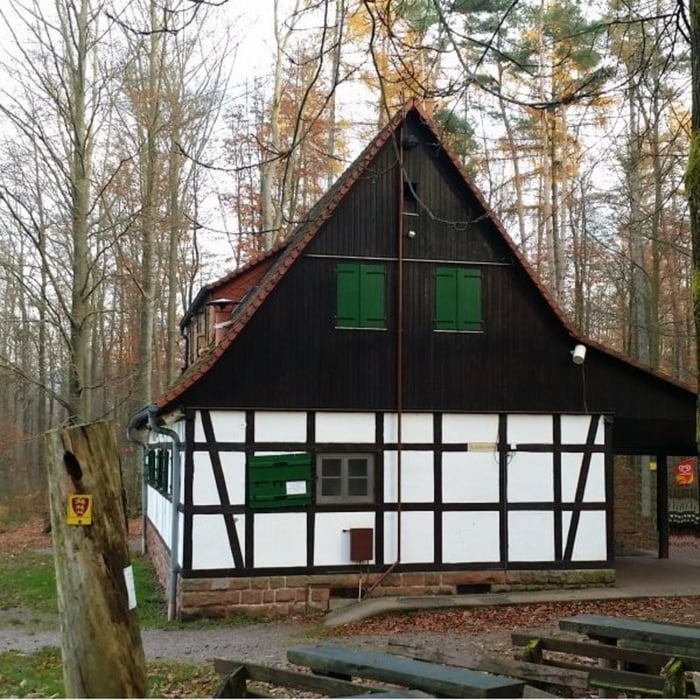
Startpunkt dieser Tour ist der Bahnhof in Annweiler, von dem es ein kleines Stück durch den Ort und anschließend um den Trifels herum geht. Entlang dieser Strecke, die fast ausschließlich auf forst- und landwirtschaftlichen Wegen verläuft, sind immer wieder sehr schöne Blicke zur Burg Trifels möglich.
Galeria trasy
Mapa trasy i profil wysokości
Minimum height 161 m
Maximum height 475 m
Komentarze

GPS tracks
Trackpoints-
GPX / Garmin Map Source (gpx) download
-
TCX / Garmin Training Center® (tcx) download
-
CRS / Garmin Training Center® (crs) download
-
Google Earth (kml) download
-
G7ToWin (g7t) download
-
TTQV (trk) download
-
Overlay (ovl) download
-
Fugawi (txt) download
-
Kompass (DAV) Track (tk) download
-
Karta trasy (pdf) download
-
Original file of the author (gpx) download
Add to my favorites
Remove from my favorites
Edit tags
Open track
My score
Rate


