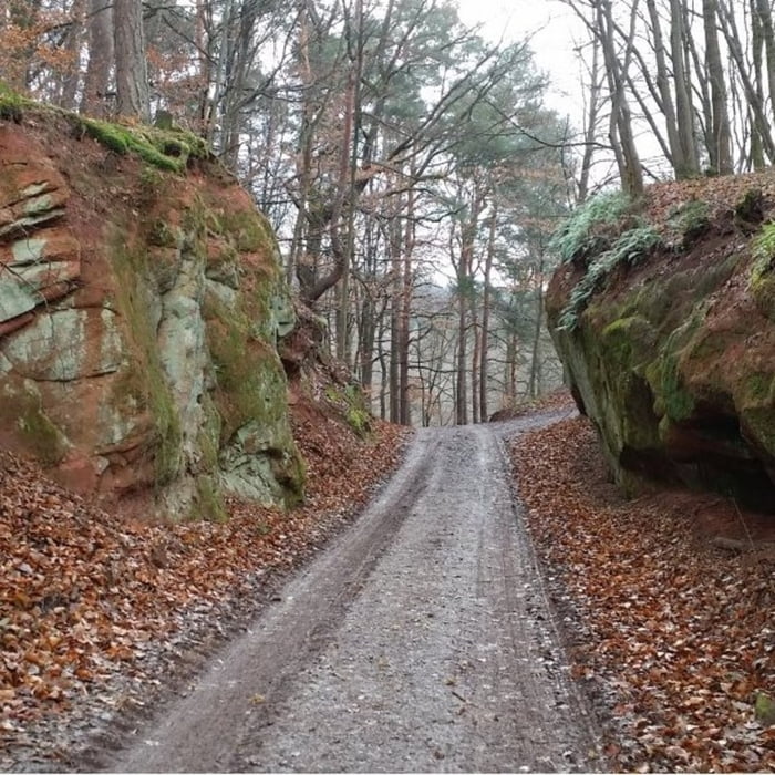
Startpunkt der Tour ist ein Parkplatz bei Münchweiler. Um den Kahlen Kopf und Forsthöhe herum führt die Tour auf gut ausgebauten Forstwirtschaftswegen nach Waldrohrbach, Silz und zum Ausgangspunkt wieder zurück.
Galeria trasy
Mapa trasy i profil wysokości
Minimum height 197 m
Maximum height 353 m
Komentarze

GPS tracks
Trackpoints-
GPX / Garmin Map Source (gpx) download
-
TCX / Garmin Training Center® (tcx) download
-
CRS / Garmin Training Center® (crs) download
-
Google Earth (kml) download
-
G7ToWin (g7t) download
-
TTQV (trk) download
-
Overlay (ovl) download
-
Fugawi (txt) download
-
Kompass (DAV) Track (tk) download
-
Karta trasy (pdf) download
-
Original file of the author (gpx) download
Add to my favorites
Remove from my favorites
Edit tags
Open track
My score
Rate


