
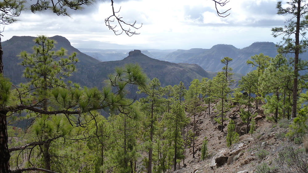

Wir startet unsere Wanderung am Parkplatz vom Hotel Las Tirajanas. Am Ortsrand gehen wir Richtung Ausschilderung Camino del Pinar. Über einen unbefestigten Feldweg geht der Weg nun in den Camino Real (Königsweg) über und steigt konstant zum Gebirgspass bis auf ca. 1170m an. Danach verläuft der weitere Weg, fast höhengleich, 1 1/2 Std. weiter. Dies ist der entspannte Teil der Wanderung. An der bekannten Stelle Cruz Grande, hier starten mehrere Wanderwege, führt der Wanderweg hinunter bis zum Ort San Bartolomé. Auf diesem tlw. gepflasterten und mit Seitenmauern versehenem Königsweg geht es nun in Serpentinen wieder nach San Bartolome de Tirajana. Wir passieren einen Fußballplatz und erreichen unser Auto am Hotel.
Galeria trasy
Mapa trasy i profil wysokości
Minimum height 940 m
Maximum height 1281 m
More about the tour author
|
|
schleidy |
Komentarze

GPS tracks
Trackpoints-
GPX / Garmin Map Source (gpx) download
-
TCX / Garmin Training Center® (tcx) download
-
CRS / Garmin Training Center® (crs) download
-
Google Earth (kml) download
-
G7ToWin (g7t) download
-
TTQV (trk) download
-
Overlay (ovl) download
-
Fugawi (txt) download
-
Kompass (DAV) Track (tk) download
-
Karta trasy (pdf) download
-
Original file of the author (gpx) download
More about the tour author
|
|
schleidy |
Add to my favorites
Remove from my favorites
Edit tags
Open track
My score
Rate